What is recorded here
On a N-facing slope. The perimeter of rath (RO022-104001-) at E was overlain in 1979 by a NE-SW field bank of a relict field system of small rectangular fields covering c. 10 ha (c. 25 acres) (SMR file). No fields are visible at ground level in reclaimed pasture.
Compiled by: Michael Moore
Date of upload: 24 August 2010
The monument record does not grant public access. Check the route and ask the landowner before entering private land.
- What survives
- Recorded monument
Places near here
 RoadRoad, road/trackway · 327 yd
 European ashEuropean ash · 451 yd
 ToberagullaSpring · 459 yd
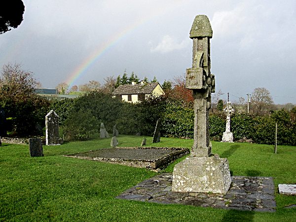 CrossCross, High cross · 459 yd
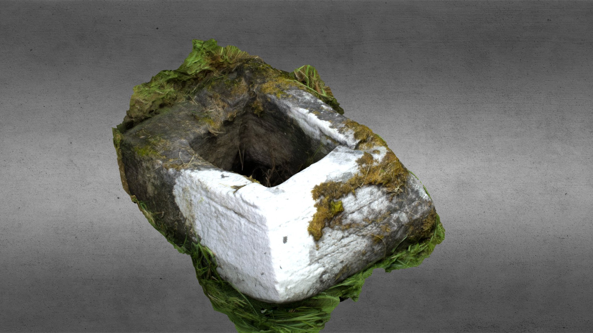 Church in OgullaChurch · 531 yd
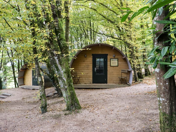 Enclosure in Ballybeg (roscommon By., Ogulla Ed)Enclosure · 614 yd
 Cruachan Aí Heritage CentreMuseum · 1.2 mi
 CastleCastle, unclassified · 1.2 mi
 CastlerubyCastle, unclassified · 1.5 mi
 War of Independence Commemorative Military MemorialMemorial · 5.0 mi
 Sweet ChestnutSweet Chestnut · 7.4 mi
 Workhouse MemorialMemorial · 8.1 mi