What is recorded here
In tillage. Visible on Google Earth aerial coverage taken 28/06/2018 as the cropmarks of , circular, linear and rectilinear ditches covering a large area (approx. dims. 490m N-S x 230m E-W), possibly the remains of an extensive field system and associated enclosures.
See attached image taken from Google Earth
Compiled by: Caimin O'Brien based on details kindly provided by Chris Corlett
Date of upload: 28 November 2018
The monument record does not grant public access. Check the route and ask the landowner before entering private land.
- What survives
- Recorded monument
Places near here
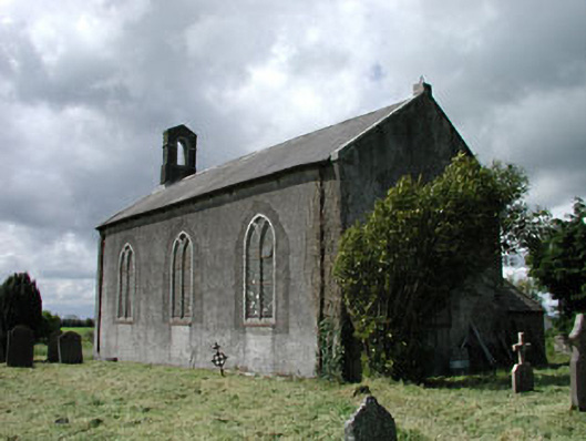 Saint James's Church (Ballyshannon)church/chapel · 1638 yd
 IndicatedCastle, motte · 1680 yd
 Kilrush RathEnclosure · 1.0 mi
 Blackhall CastleCastle, tower house · 1.3 mi
 Walls of ChurchChurch · 1.3 mi
 Enclosure in GreatrathEnclosure · 1.4 mi
 Battle of Kilrushbattle · 1.4 mi
 Narraghmore Nature ReserveForest · 2.3 mi
 Narraghmore WoodWood · 2.7 mi
 Gorden Bennet Race memorialMemorial · 4.8 mi
 History of Moat of ArdscullVisitor information · 4.8 mi
 1798 memorial stoneMonument · 5.5 mi