What is recorded here
Clear field boundaries cut across the crest above Lough Macnean Upper, marking one of the better-preserved rural landscapes in County Cavan. The straight lines and angular enclosures suggest people shaped the land deliberately, perhaps dividing pasture, residence and ceremony along the promontory. What is less certain is how daily life moved through that layout: where animals grazed, where families worked, and whether the ringforts stood as defence, status or simply neighbourhood.
Situated across the crest of rising ground on a broad promontory at the S side of Lough Macnean Upper is a field system and a complex of earthworks, ringforts, hut sites and cashels. The extant system is visible as orthogonal elements comprising a long linear field boundary running N-S, up to and around the W end of CV001-007---- a ringfort, with another long linear boundary running WNW to ESE, roughly perpendicular to the former element but clearly running across an earlier enclosure (CV001-031----) Additional elements of curving and straight field boundaries with annexes can be discerned to the E and SE with faint traces to the south of CV001-009---- a ringfort - cashel.
Compiled by: Margaret Keane
Uploaded on: 28 October 2020
The monument record does not grant public access. Check the route and ask the landowner before entering private land.
- What survives
- Recorded monument
Places near here
 Enclosure in MullaghahyEnclosure · 207 yd
 IndicatedFairy fort / earthen ringfort · 267 yd
 Giant's GraveArchaeological place · 833 yd
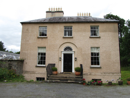 Killinagh Houserectory/glebe/vicarage/curate's house · 1031 yd
 Saint Patrick's Catholic Churchchurch/chapel · 1042 yd
 Tuam IslandIslet · 1275 yd
 Kilrooscagh IslandIslet · 1563 yd
 Port IslandCastle, Anglo-Norman masonry castle · 1.1 mi
 BarranMountain / peak · 1.7 mi
 Lough MacNean WalkWalking route · 1.9 mi
 Teampull RuisínHeritage attraction · 1.9 mi
 Saint Patrick's Holy WellSpring · 2.0 mi