What is recorded here
On Tawin Island in low-lying commonage. Aerial reconnaissance by Markus Casey in August 1999 revealed a field system and associated enclosures (GA102-040----, GA102-040001- and GA102-040002-) and a possible house site (GA102-040004-) (SMR file). The field system consists of a series of low field banks (Wth 4.8m; int. H 0.18m; ext. H 0.2m) covering the area c. 200m NW-SE by c. 153m ENE-WSW. Four field banks radiate from the enclosure (GA102-040----): at NE, SE, SW and NW. The NE running bank extends for a length of 25m. The SE bank runs NW-SE for 16m and then turns towards the ENE (L 20m) to the possible enclosure (GA102-040001-). The field bank (L 11m) at running from the SW corner runs for 11m and then turns to the NW (L 14m). The field bank from the NW corner extends in an irregular fashion. Other field banks include one (L 32m) running between the possible enclosures (GA102-040001- and GA102-040002-) and another (L 20m) extending to the E of the latter enclosure (GA102-040002-) before it peters out. Other possible field banks exist further to E and N but these are very low in profile. A possible enclosure (GA102-039----) abuts the field system to the N.
Compiled by: Olive Alcock
Date of upload: 11 July 2019
The monument record does not grant public access. Check the route and ask the landowner before entering private land.
- What survives
- Recorded monument
Places near here
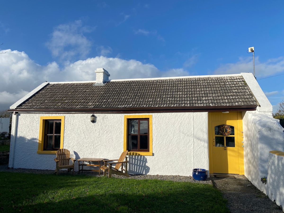 Enclosure in Tawin WestEnclosure · 67 yd
 LisheenFairy fort / earthen ringfort · 749 yd
 Tawin IslandIsland · 1433 yd
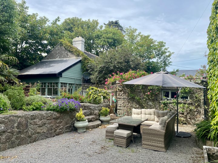 Glasheen IslandIslet · 1.6 mi
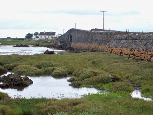 bridgebridge · 1.7 mi
 Ardfry PointHeadland · 1.9 mi
 Mutton Island LighthouseLighthouse · 2.4 mi
 Famine Ship MemorialMemorial · 3.0 mi
 Dead Mans BeachBeach / strand · 3.5 mi
 Galway City MuseumMuseum · 3.5 mi
 Spanish ArchHeritage attraction · 3.5 mi
 Christopher Columbus MonumentMemorial · 3.5 mi