What is recorded here
In rough pastureland, with outcropping limestone, sloping to the S. This relict field system extends over an area c. 430m NE-SW by c. 370m NW-SE across modern fields, and is clearly visible on recent aerial imagery (Google Earth 2009; OSi MapGenie imagery 2013-2018) and on the ground. All the walls are defined by grassed-over collapsed stone spreads. An enclosure (GA058-099001-) and possible cashel (GA058-099003-) are located within it. The main features clearly visible on the ground are a small field (c. 18m N-S; c. 18m E-W) immediately to the S of the enclosure, to the S off which there is a larger rectangular field (ENE-WSW c. 31m; NNE-SSW c. 25m). The S side (Wth 0.6-0.8m; int. H 0.4m; ext. H 0.5m) of the latter field is the best preserved wall. A lower, more collapsed, spread (Wth 2-3m; H 0.2-0.3m) extends off the W end of its S side and curves westwards but is obscured by furze growth. A small annexe or structure (int. dims. c. 3m E-W; 2.5m N-S; Wth of spread 2.5m; ext. H 0.5m at N) abuts the W end of its N side. A modern field wall cuts through this field, from its NE corner to just inside its SE corner, which is also well preserved. A second large field (c. 34m ENE-WSW; c. 30m NNE-SSE), subrectangular in plan, is visible c. 20m to the W of the enclosure. Its W wall continues further towards the N (L c. 50m) and then curves towards SE and extends to the NE corner of the enclosure. On the MapGenie aerial imagery, another field wall (L c. 100m), running NE-SW, and curving towards the W at its S end, is visible in the next field to the S.
The following images have been uploaded:
GA058-099002-_01.jpg General view of S side of field wall, from S
GA058-099002-_02.jpg Detail of collapsed nature of the wall, from S
Compiled by: Olive Alcock
Date of upload: 29 November 2022
The monument record does not grant public access. Check the route and ask the landowner before entering private land.
- What survives
- Recorded monument
Places near here
 Enclosure in Stonepark (ballymoe By.)Enclosure · 57 yd
 Enclosure in AbbertEnclosure · 1075 yd
 Church (in Ruins)Church · 1.1 mi
 CashlaundarraghCastle · 1.2 mi
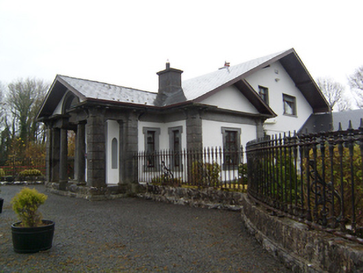 Ryehillgate lodge · 1.2 mi
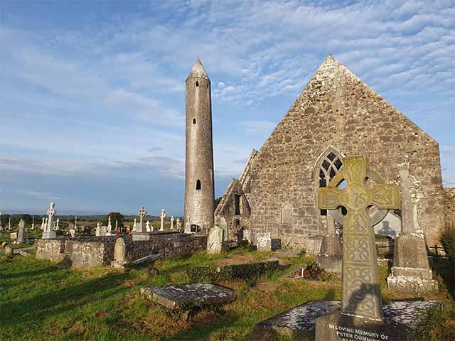 Killaclogher CastleCastle · 2.1 mi
 Knockmoy AbbeyHeritage attraction · 2.2 mi
 SycamoreSycamore · 3.3 mi
 Common WhitebeamCommon Whitebeam · 3.3 mi
 Menlough IRAMemorial · 5.5 mi
 Mass RockNamed rock · 12 mi
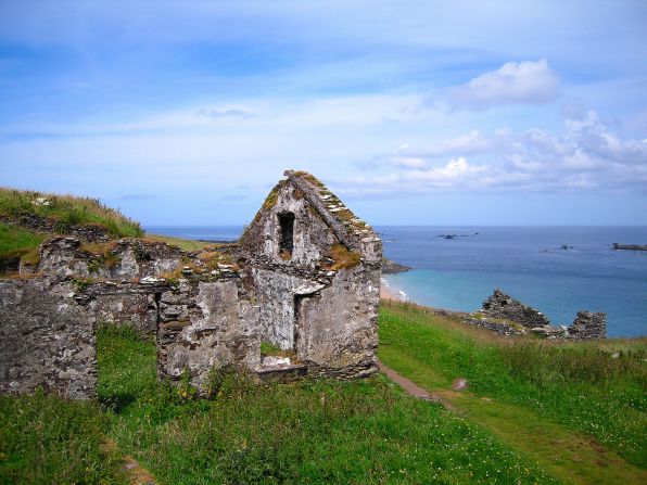 Settlement desertedSettlement deserted, medieval · 1.2 mi