What is recorded here
Clear water still moves through Shronahiree More, beside the old ridge and across fields that people shaped before the bog swallowed them. Some chambers and narrow enclosures remain marked in stone, preserving a settlement rather than a passing shadow. The basin still records that its people lived there, measured space and left behind a place the water never erased.
Located between the lower W slopes of Knockaunanattin and the Glashawee river is a group of pre-bog walls which covers an area c. 670m x c. 590m. Up to sixty stretches of linear and curvilinear walls occur, protruding .4m on average above the surface of the peat. Composed of rather large boulders and intermittent uprights, the walls are up to 1m wide and vary from 10m to 60m long. A number of long, rectilinear fields are apparent, enclosing areas that average 50m x 15m.
The poorly preserved foundations of a circular hut (KE082-066001-) occur towards the S end of the complex. Measuring 2.8m in maximum internal diameter, it features a 1.1m wide entrance gap at SW. A ruined enclosure (KE082-066002-), 4.2m x 3.6m, occurs 70m NE of the river. It consists of a circular line of boulders, with a .75m wide entrance gap at S. Some 270m to SE is a crudely built, subcircular enclosure (KE082-066003-) with an internal diameter of 3.8m x 3.25m. Its wall averages .95m thick.
The above description is derived from A. O'Sullivan and J. Sheehan (compilers), 'The Iveragh peninsula: an archaeological survey of South Kerry'. Cork University Press (1996), no. 63. In certain instances the entries have been revised and updated in the light of recent research.
Date of upload: 28 July 2013
The monument record does not grant public access. Check the route and ask the landowner before entering private land.
- What survives
- Recorded monument
Places near here
 Ballaghbeama GapViewpoint · 1.1 mi
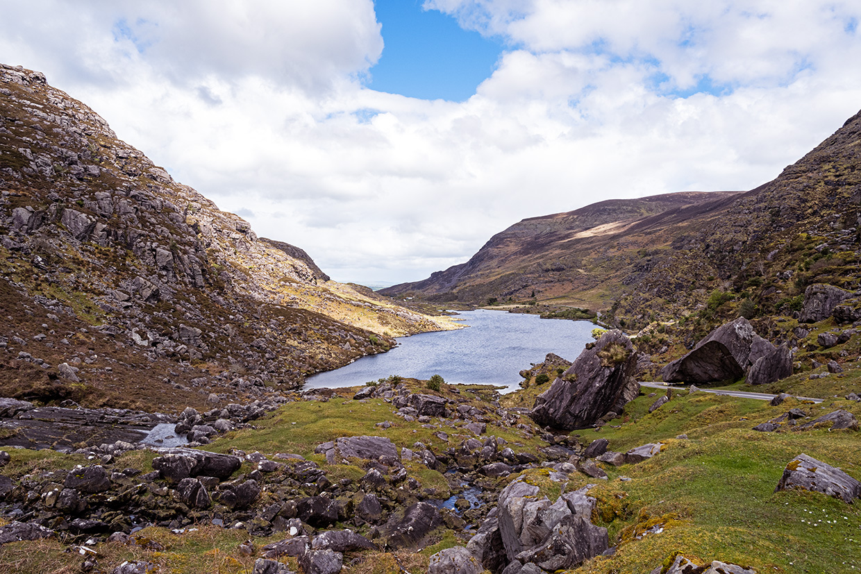 Ooangallaun CaveMan-made underground passage · 1.1 mi
 MullaghanattinMountain / peak · 1.1 mi
 Ecclesiastical site in Shronahiree MoreEcclesiastical site · 1.3 mi
 Beann NE TopMountain / peak · 1.4 mi
 Blackstones Bridgebridge · 4.9 mi
 CarrauntoohilMountain / peak · 5.1 mi
 Devil's Ladder RouteWalking route · 6.3 mi
 Crash site of USAAF DakotaHeritage attraction · 6.8 mi
 RoadRoad, road/trackway · 7.0 mi
 De Gaulle MemorialMonument · 8.2 mi
 Sneem Commemoration PlaqueMemorial · 8.3 mi