What is recorded here
On a gentle N-facing slope in undulating terrain under tillage. A field system identified as cropmark on aerial photograph (ASIAP (27) 33, 36, 37). The linear field boundaries are closely associated with six roughly circular and sub-rectangular enclosures (TS084-018002- to TS084-018007-). This field system is not visible at ground level.
Compiled by: Jean Farrelly
Date of revised upload: 23 October 2014
The monument record does not grant public access. Check the route and ask the landowner before entering private land.
- What survives
- Recorded monument
Places near here
 Enclosure in Seskin (kilsheelan Par.)Enclosure · 82 yd
 Castle (in ruins)Castle, tower house · 1211 yd
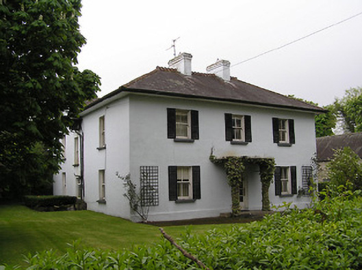 Kilsheelan Househouse · 1308 yd
 Saint Mary's Catholic Churchchurch/chapel · 1321 yd
 KilsheelanSettlement deserted, medieval · 1461 yd
 Garden of RenewalNature reserve · 1499 yd
 Pedunculate OakPedunculate Oak · 1.0 mi
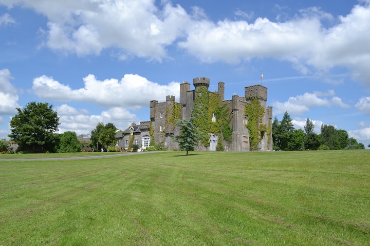 Ballyglasheen CastleCastle · 1.2 mi
 CarrigeenseebohillaMountain / peak · 2.1 mi
 CarrigcoumMountain / peak · 2.1 mi
 Maurice DavinMemorial · 2.7 mi
 Carrigaloe RockNamed rock · 3.3 mi