What is recorded here
Field system in Scregg (athlone North By.) is a field system in Scregg (athlone North By.), County Roscommon, Ireland. It covers about 28 acres on the plateau around the tower house and the north-facing slope below it. Low earthen banks and scarps define rectangular and irregular fields that follow the shelves of the land. One bank attaches directly to the perimeter of the rath at the north edge of the area.
On the plateau around the tower house of Scregg (RO042-014001-) and on the N-facing slope from the structure and on a shelf at its base. An area of about 28 acres (c. 11.5 ha) of pasture in which there are low earthen banks (Wth 2-3m; H 0.1-0.5m) and scarps defining rectangular fields (dims c. 40m x 60m) and irregularly-shaped fields relating to the shelves of the slope. One field bank is attached to the perimeter of rath (RO042-163001-) at the N of the area.
Compiled by: Michael Moore
Date of upload: 24 August 2010
The monument record does not grant public access. Check the route and ask the landowner before entering private land.
- What survives
- Recorded monument
Places near here
 Not inidcatedFairy fort / earthen ringfort · 198 yd
 Scregg Housecountry house · 293 yd
 CastleCastle, tower house · 312 yd
 Cloghogle StonePassage tomb · 781 yd
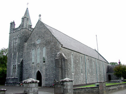 Saint Patrick's Catholic Churchchurch/chapel · 1.5 mi
 Hangman's HillMountain / peak · 1.7 mi
 Galey CastleCastle, tower house · 2.4 mi
 Galey BayBay · 2.6 mi
 InchmoreIslet · 2.7 mi
 InchihicleleyIslet · 3.1 mi
 Ballymurray ForestForest · 3.1 mi
 Cruit PointHeadland · 3.2 mi