What is recorded here
Situated on a fairly level landscape N and W of the parish church of Rathmore (ME024-017001-). An area of about 10 acres (c. 4 ha) has relict field banks and ditches defining fairly large fields between parallel E-W banks (c. 50m apart) with some running N-S. Towards the S edge of the area there is a semicircular area defined by a scarp and ditches, and there are also two relict ponds.
The above description is derived from the published 'Archaeological Inventory of County Meath' (Dublin: Stationery Office, 1987). In certain instances the entries have been revised and updated in the light of recent research.
Compiled by: Michael Moore
Date of revision: 16 April 2019
The monument record does not grant public access. Check the route and ask the landowner before entering private land.
- What survives
- Recorded monument
Places near here
 AbbeyChurch · 107 yd
 CastleCastle, motte · 394 yd
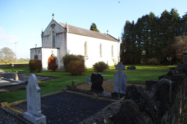 Saint Laurence's Catholic Churchchurch/chapel · 914 yd
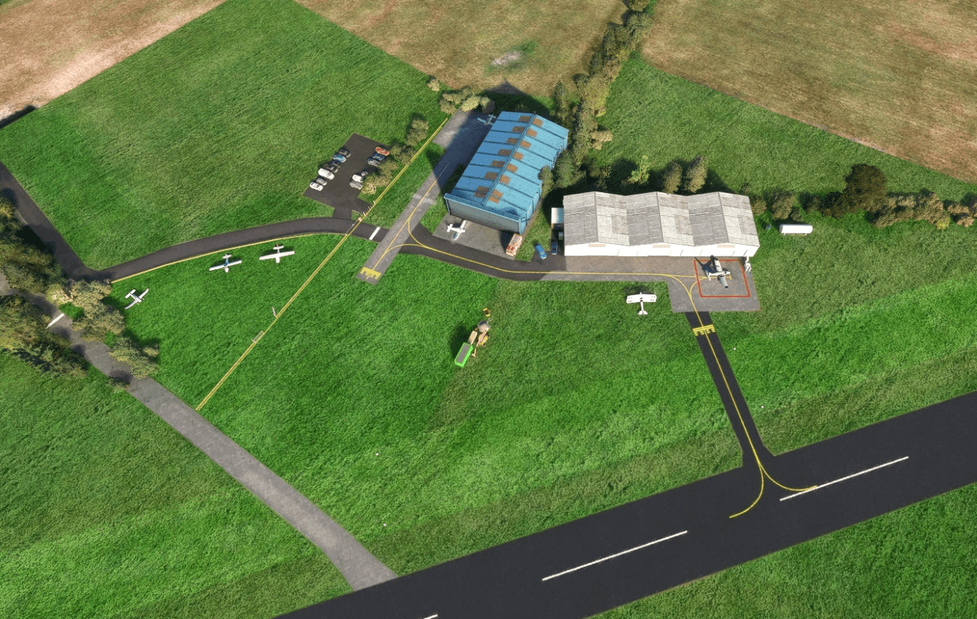 Enclosure in Ballyboy (lune By., Rathmore Par.)Enclosure · 1188 yd
 St. Laurences StoneRitual site, holy/saint's stone · 1594 yd
 JamestownMountain / peak · 1.4 mi
 FarmaphobiaHeritage attraction · 2.4 mi
 Causey FarmHeritage attraction · 2.4 mi
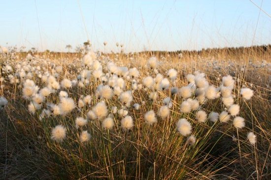 Native Woodland Trust: Girley Bog ReserveWood · 2.9 mi
 Girley WoodWood · 3.0 mi
 BoglandMemorial · 3.1 mi
 Faughan HillMountain / peak · 3.5 mi