What is recorded here
Ten acres of relict banks and ditches still divide the level land north and west of the Rathmore parish church. Parallel east-west ridges stand fifty metres apart, forcing any walker or rider to follow their ancient line rather than cut across them. A semicircular scarp and two abandoned ponds mark the southern edge, suggesting a settled place where water, boundary and ritual may have occupied the same ground. The fields no longer produce, but they still shape the eye and pace of anyone moving through them.
Situated on a fairly level landscape N and W of the parish church of Rathmore (ME024-017001-). An area of about 10 acres (c. 4 ha) has relict field banks and ditches defining fairly large fields between parallel E-W banks (c. 50m apart) with some running N-S. Towards the S edge of the area there is a semicircular area defined by a scarp and ditches, and there are also two relict ponds.
The above description is derived from the published 'Archaeological Inventory of County Meath' (Dublin: Stationery Office, 1987). In certain instances the entries have been revised and updated in the light of recent research.
Compiled by: Michael Moore
Date of revision: 16 April 2019
The monument record does not grant public access. Check the route and ask the landowner before entering private land.
- What survives
- Recorded monument
Places near here
 AbbeyChurch · 107 yd
 CastleCastle, motte · 394 yd
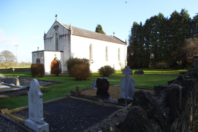 Saint Laurence's Catholic Churchchurch/chapel · 914 yd
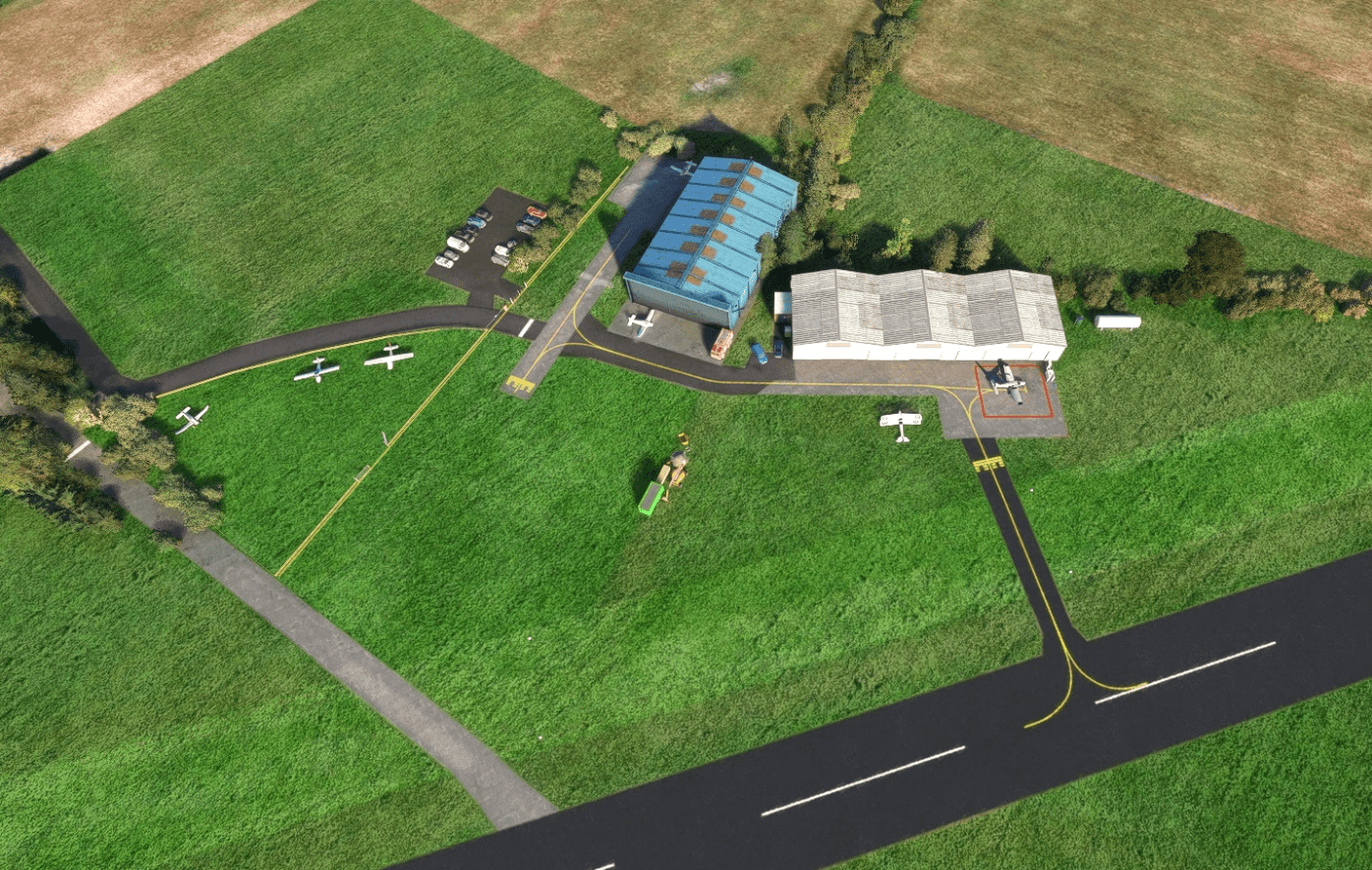 Enclosure in Ballyboy (lune By., Rathmore Par.)Enclosure · 1188 yd
 St. Laurences StoneRitual site, holy/saint's stone · 1594 yd
 JamestownMountain / peak · 1.4 mi
 FarmaphobiaHeritage attraction · 2.4 mi
 Causey FarmHeritage attraction · 2.4 mi
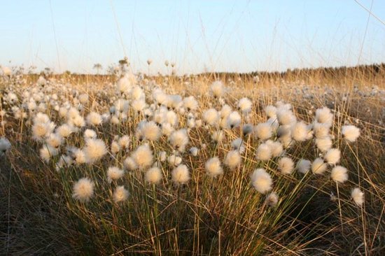 Native Woodland Trust: Girley Bog ReserveWood · 2.9 mi
 Girley WoodWood · 3.0 mi
 BoglandMemorial · 3.1 mi
 Faughan HillMountain / peak · 3.5 mi