What is recorded here
Ten rectangular fields stretch from circular enclosures in Rainestown, their borders hidden beneath soil but still visible when drought stresses the crop. The parallel fosses cutting across them mark a later plough-levelled boundary, layering human ambition over older settlement. What is absent is not emptiness; it is a life that stopped leaving marks in one form and continued leaving them in another.
Aerial photograph (GB89.AG.26) shows cropmark of a sequence of fosses defining a rectilinear field system comprising ten contiguous rectangular fields extending from a series of circular and rectilinear enclosures, and forming an extensive and complex cropmark landscape. The parallel fosses running NE to SW across the cropmark sequence probably represent a more recent plough-levelled field boundary.
Bibliography
Barrett, G.F. 'Early landscapes in County Carlow: an aerial perspective, in T. McGrath and T. O'Keefe (eds), County Carlow: History and Society, Geography Publications, Dublin. Forthcoming 2008.
Barrett, G.F. (1999) 'Relevé aérien d'archéologie en Irlande, in Archeologie Aerienne: Actes du colloque du festival international d'archéologie d'Amiens. Revue archaeologie de Picardie special 17/1999. APPAH Ministère de la culture, Amiens et de l'Université de Picardie, pp. 245-52. ISSN 0752-5656 .
Barrett, G.F. (1996) 'Archaeological air survey in County Carlow: discovery and destruction' Carloviana, 44, pp. 16-22.
Barrett, G.F. (1995) 'Recovering the hidden archaeology of Ireland: the impact of aerial survey in the River Barrow valley, 1989-91” in O. Braasch, and G. Wetzel, G. (eds), Aerial Archaeology in eastern and central Europe, 45-59, Proceedings of the Kleinmachnow conference, Brandenburg Museum, Potsdam, pp.45-59. ISBN 3-910011-08-X.
Compiled by: Dr Gillian Barrett for the Archaeological Survey of Ireland.
Date of upload: 10 June 2009
The monument record does not grant public access. Check the route and ask the landowner before entering private land.
- What survives
- Recorded monument
Places near here
 Enclosure in RainestownEnclosure · 277 yd
 Cork oakCork oak · 644 yd
 Duckett's GroveHeritage attraction · 930 yd
 Enclosure in RussellstownEnclosure · 1136 yd
 European YewEuropean Yew · 1186 yd
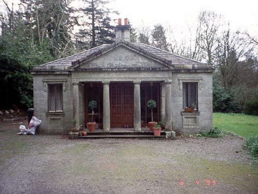 Russellstown Parkgate lodge · 1207 yd
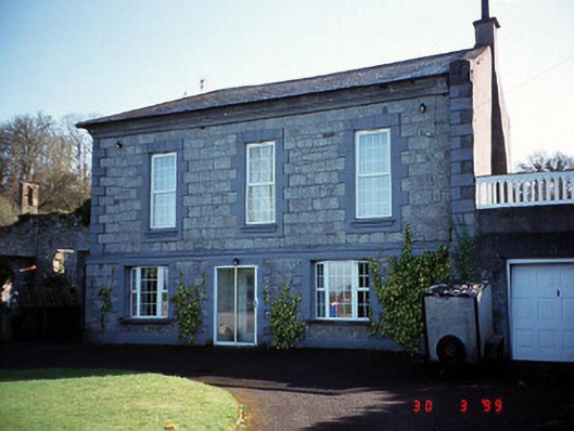 Burton Hallcountry house · 1498 yd
 OutlinedCastle, unclassified · 1.4 mi
 Church (in Ruins), GraveyardChurch · 1.7 mi
 Friarstown Castle (in ruins)Castle, tower house · 2.0 mi
 Brownshill Portal TombVisitor information · 2.7 mi
 ProclamationMemorial · 3.4 mi