
What is recorded here
Enclosure in Russellstown, County Carlow: a curving ditch, fifty-seven metres across and eighty centimetres deep, ringed a Neolithic house on a south-west-facing crest. Charred grain in its fill dates the ditch to the early medieval period, suggesting people kept returning to mark, use or remember the older place. The road took only part of it; geophysical survey indicates the ditch continues beyond the excavation, still drawing its circle under the ground.
On the crest of a south-west-facing slope, partially excavated in advance of construction of the N9/N10 Kilcullen-Waterford Road (Excavation Licence number E2571/E2572). A curvilinear ditch was uncovered (exposed dimensions L 56.7m; Wth 1.42m; D 0.8m) surrounding a Neolithic house (see CW003-028----). A radio carbon date obtained from charred grain from the fill of the ditch places it in the early medieval period. Geophysical survey suggests that the ditch probably survives outside the road take and formed an enclosure. (Hegarty L. 2009, 49-50; O' Connell T. J. 2009, 28)
References:
Hegarty L. (2009) 'Russelstown Neolithic house/multi-phase site' in I. Bennett (ed.), Excavations 2006: summary accounts of archaeological excavations in Ireland, 49-50 (206). Bray. Wordwell
O' Connell T. J. 2009 N9/N10 Kilcullen to Waterford Scheme: Kilcullen to Powerstown. Archaeological Services Contract No. 4 - Resolution, Prumpelstown to Powerstown. Final Report on archaeological investigations at Site E2571/E2572, in the townland of Russellstown, Co. Carlow. Unpublished report, Headland Archaeology (Ireland) Ltd., Cork.
Compiled by: Claire Breen
Date of upload: 10 November 2010
The monument record does not grant public access. Check the route and ask the landowner before entering private land.
- What survives
- Recorded monument
Places near here
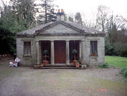 Russellstown Parkgate lodge · 557 yd
 Cork oakCork oak · 592 yd
 European YewEuropean Yew · 699 yd
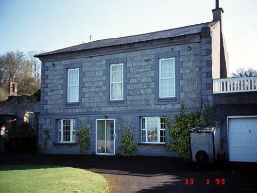 Burton Hallcountry house · 771 yd
 Enclosure in RainestownEnclosure · 1198 yd
 Enclosure in DeerparkEnclosure · 1.1 mi
 Friarstown Castle (in ruins)Castle, tower house · 1.9 mi
 OutlinedCastle, unclassified · 2.0 mi
 Brownshill Portal TombVisitor information · 2.0 mi
 Church (in Ruins), GraveyardChurch · 2.1 mi
 Franciscan FriaryHeritage attraction · 3.6 mi
 ProclamationMemorial · 3.7 mi
Other information
Photo: Credit not shown in the picture search · Rights wording not checked; contact us if this picture should be removed