What is recorded here
Visible as linear features on an aerial photograph (ACP V203/90-1, Roll 175, Pr. 2).
Compiled by: Geraldine Stout
Date of upload: 21 November 2013
The monument record does not grant public access. Check the route and ask the landowner before entering private land.
- What survives
- Recorded monument
Places near here
 Church (in Ruins)Church · 289 yd
 Enclosure in Grange EastEnclosure · 335 yd
 Enclosure in SeafieldEnclosure · 513 yd
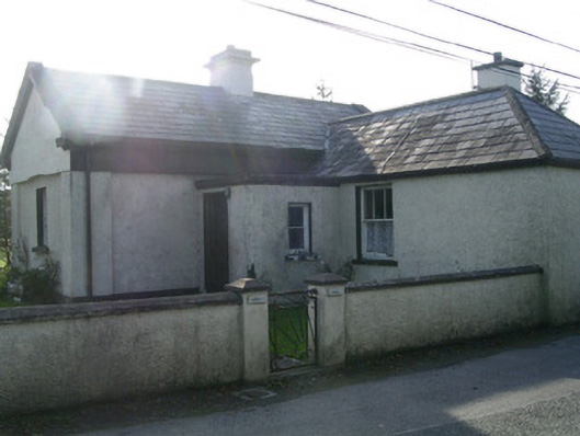 Lisheengate lodge · 687 yd
 Castle (in Ruins)Castle, unclassified · 752 yd
 The GlenWood · 1010 yd
 Knocknarea trailWalking route · 1759 yd
 CarrigeenfaddaIslet · 1.1 mi
 KnocknareaMountain / peak · 1.3 mi
 Carrowmore Visitors CentreVisitor information · 1.5 mi
 Carrowmore Megalithic CemeteryHeritage attraction · 1.6 mi
 Derinch PointHeadland · 2.0 mi