What is recorded here
Visible on aerial photographs taken by M. Moore (16-07-06) as the cropmark of two, small, sub-rectangular fields orientated N-S, in tillage.
Date of upload: 24 October 2012
The monument record does not grant public access. Check the route and ask the landowner before entering private land.
- What survives
- Recorded monument
Places near here
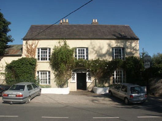 Hunter's Hotelhotel · 220 yd
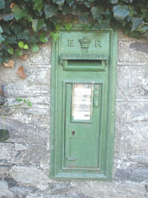 post boxpost box · 244 yd
 Enclosure in NewrathEnclosure · 321 yd
 Sessile OakSessile Oak · 739 yd
 European YewEuropean Yew · 813 yd
 Font in UnknownFont · 1185 yd
 CastleCastle, unclassified · 1.0 mi
 Round MountCastle, motte · 2.1 mi
 Glen Beach Cliff WalkWalking route · 3.7 mi
 Carrick MountainMountain / peak · 3.7 mi
 Devil's Glen WaterfallWaterfall · 3.9 mi
 Silver StrandBeach / strand · 4.6 mi