What is recorded here
Beneath the new playing pitches at Dundalk Institute of Technology, a forgotten rectangular field waits in the dark soil. Its ditches stretch ninety-five metres east to west and fifty metres north to south, marking a medieval boundary now hidden under modern grass. Students run across the exact spot where ancient farmers once walked, unknowing that their feet press against a lost world preserved in the earth.
A series of field ditches which appear to form a sub-rectangular field (c. 95m E-W x 50m) discovered during the development of playing pitches at Dundalk Institute of Technology (Excavation Licence No. 02E0008). Possibly medieval. Covered and preserved in situ. (Mossop 2002, 12-13 and 41; Mossop 2004, 375)
References:
Mossop, M. 2002 Archaeological monitoring and investigations, Dundalk Institute of Technology, County Louth. Unpublished archaeological report. National Monuments Section, Department of Arts, Heritage and the Gaeltacht, Dublin
Mossop, M. 2004 Marshes Upper, Dundalk. In I. Bennett (ed.), Excavations 2002: summary accounts of archaeological excavations in Ireland, 375-8 (No. 1335). Bray. Wordwell.
Compiled by: Claire Breen
Date of upload: 01 December 2011
The monument record does not grant public access. Check the route and ask the landowner before entering private land.
- What survives
- Recorded monument
Places near here
 Enclosure in Marshes UpperEnclosure · 107 yd
 Dundalk Institute of Technologyfactory · 512 yd
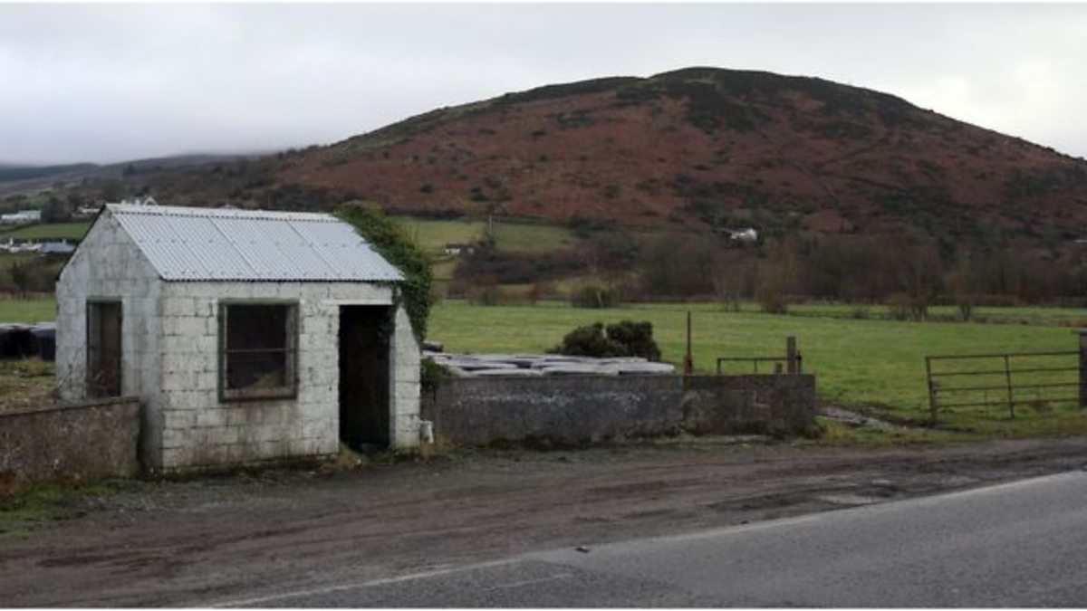 Enclosure in HaggardstownEnclosure · 1201 yd
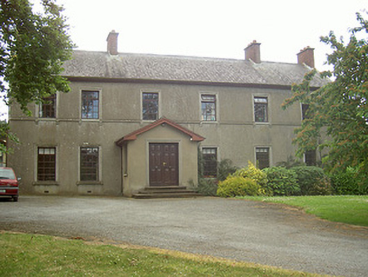 Mullaharlin Househouse · 1464 yd
 Louth County MuseumMuseum · 1.4 mi
 Bombing 1975Memorial · 1.4 mi
 Maid of ErinMemorial · 1.4 mi
 Photo GalleryHeritage attraction · 1.5 mi
 CastleCastle, tower house · 1.7 mi
 Soldiers' PointHeadland · 2.2 mi
 Castletown MotteArchaeological place · 2.6 mi
 Battle of FaughartMajor battlefield · 4.0 mi