What is recorded here
In the extensive sand-dunes along S side of Mannin Bay. A series of middens and habitation sites similar to, if not associated with, the midden complex to SW in Doonloughan (GA048-008001-). To NW of Ship Harbour is a large area of settlement (L 250m, Wth 150m) consisting of a series of stone walls, huts (GA049-024001-) and large quantities of midden material, all of which is rapidly being eroded by wind action. The midden material consists mainly of periwinkle, limpet and whelk, burnt stone, hearths and charcoal. Some 600m to W, and extending further W for c. 1.5km, are similar concentrations of shells, huts and stone walls, all ranged along the coastline. (Brunicardi 1914, 198)
The above description is derived from the published 'Archaeological Inventory of County Galway Vol. I - West Galway'. Compiled by Paul Gosling (Dublin: Stationery Office, 1993).
Date of upload: 05 August 2010
The monument record does not grant public access. Check the route and ask the landowner before entering private land.
- What survives
- Recorded monument
Places near here
 IndicatedEnclosure · 753 yd
 Mannin BayBay · 1378 yd
 Holy well in DerrigimlaghHoly well · 1.2 mi
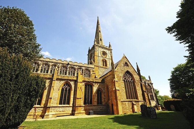 Holy Trinity ChurchChurch · 1.4 mi
 Mannin Bay Coral StrandBeach / strand · 1.5 mi
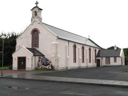 Catholic Church of the Holy Familychurch/chapel · 1.5 mi
 Doon HillMountain / peak · 2.5 mi
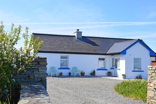 Bawn in Bunowen MoreBawn · 2.6 mi
 IllaunamenaraIslet · 2.8 mi
 Alcock and Brown Atlantic CrossingMemorial · 2.9 mi
 LyalmoreIslet · 3.2 mi
 Riding StableHeritage attraction · 3.3 mi