What is recorded here
Visible on a 1966 aerial photograph (CUCAP APH 83) as a linear feature, a possible scarp, running W (est. L c. 250m) from the early ecclesiastical site at Lullymore (KD012-006----), and possibly forming part of an associated field system.
Compiled by: Gearóid Conroy
Date of upload: 10 June 2011
The monument record does not grant public access. Check the route and ask the landowner before entering private land.
- What survives
- Recorded monument
Places near here
 IndicatedEnclosure · 223 yd
 Church in Lullymore EastChurch · 281 yd
 Cross in Lullymore EastCross · 289 yd
 Lullymore Heritage ParkHeritage attraction · 945 yd
 Foran's WoodForest · 1026 yd
 The Fairy BowerHeritage attraction · 1074 yd
 Killina BogWood · 1.0 mi
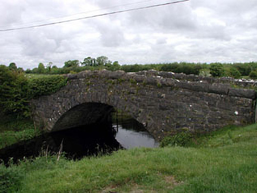 Agar Bridgebridge · 2.3 mi
 Bawn in Grangeclare WestBawn · 3.7 mi
 Bithia Mary CrokerMemorial · 4.4 mi
 Kilmeague CastleRuins · 4.6 mi
 Grand Canal WayVisitor information · 5.2 mi