What is recorded here
On the summit and S slopes of a NW-SE running ridge in undulating grassland. Aerial reconnaissance in August 1984 (ASGAP 172:18) brought to light a series of low grassed-over banks of earth and stone covering an area c. 230m E-W by c. 200m N-S. Two small roughly square enclosures are visible, however, most of the banks form no obvious pattern.
The above description is derived from the published 'Archaeological Inventory of County Galway Vol. II - North Galway'. Compiled by Olive Alcock, Kathy de hÓra and Paul Gosling (Dublin: Stationery Office, 1999).
Date of upload: 05 August 2010
The monument record does not grant public access. Check the route and ask the landowner before entering private land.
- What survives
- Recorded monument
Places near here
 Enclosure in Loughturk WestEnclosure · 204 yd
 LisduffFairy fort / earthen ringfort · 264 yd
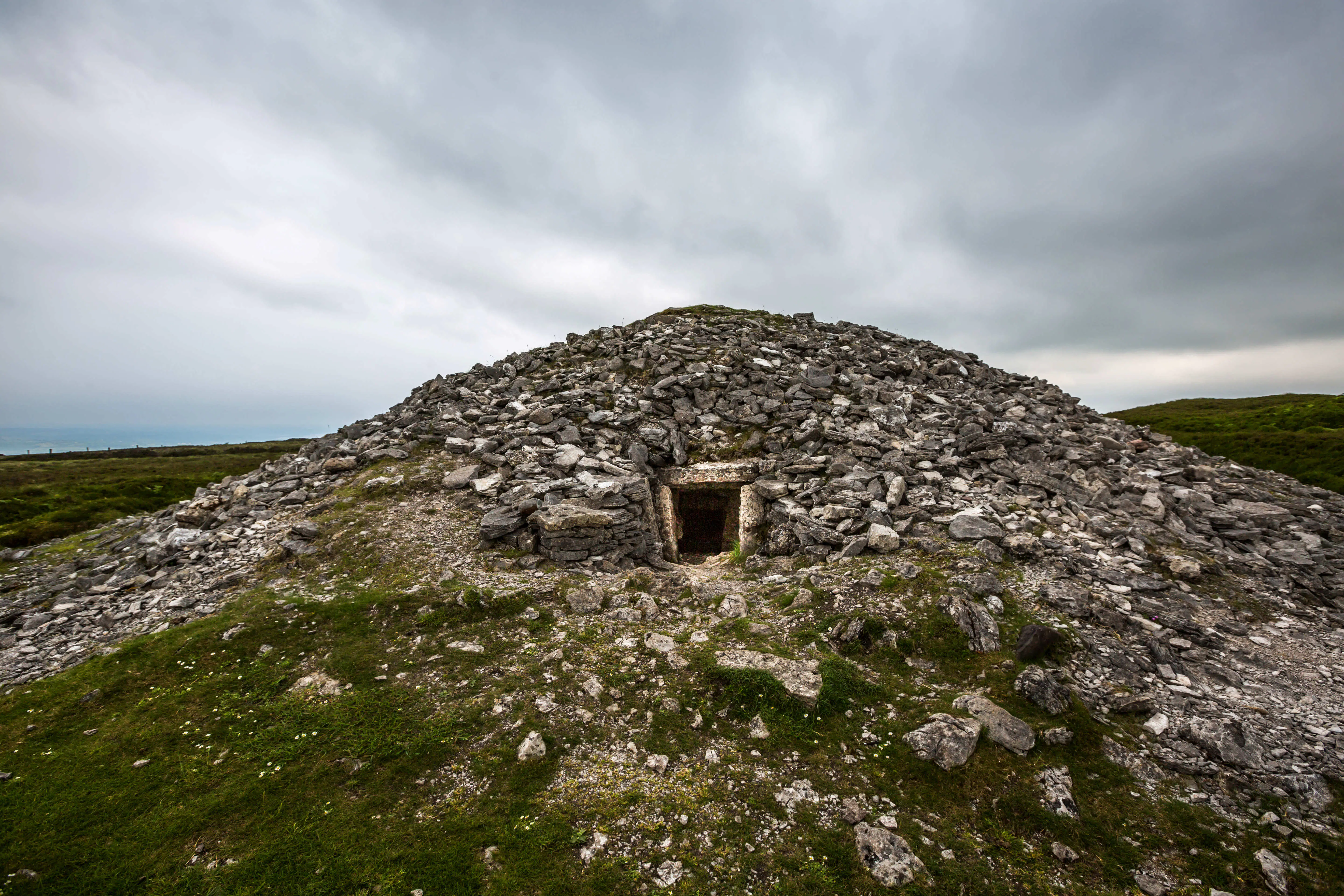 Quarry in Carrowkeel (clonmacnowen By.)Quarry · 1.0 mi
 European BeechEuropean Beech · 1.0 mi
 European YewEuropean Yew · 1.2 mi
 Gortnamonaoutbuilding · 1.2 mi
 Ballagh Castle (in Ruins)Castle, unclassified · 1.3 mi
 MoatCastle, motte and bailey · 1.7 mi
 The bloody HollowHeritage attraction · 2.9 mi
 Urraghry HillMountain / peak · 3.0 mi
 Battle of AughrimMajor battlefield · 3.2 mi
 Battle of Aughrim Interpretative CentreMuseum · 3.8 mi