What is recorded here
Four thousand square metres of ancient fields still breathe beneath the grass at Lisduff, their meandering stone banks mapping contours long forgotten. A ringfort watches the north edge while cultivation ridges twist through plots that once fed hungry hands. The system extends beyond its visible bounds, swallowing into modern pasture like a sentence cut short. What remains is enough to show that people lived here, shaped the land, and vanished without erasing the shape of their labour.
In pasture, located on a low rise in rolling grassland broken by limestone outcropping. There are good views, especially to N where ground falls gently for c. 150m towards an area of lowlying damp ground. Ground rises gradually to S.
Recorded by Lavelle (1994, no. 577) as follows ‘In undulating pasture, extending over 4000 sq.m. Banks of earth and stone make up a number of fields, hut sites and possible enclosures.’
A network of subrectangular or irregular-shaped field plots, which range in size from 25m by 35m to 60m by 70m, is outlined by low, grass-covered stone banks. The stone banks most likely represent levelled field walls. They incorporate large stones and boulders in parts. The stone banks tend to meander gently, following the natural contours of the local undulating terrain. Traces of cultivation ridges, on various orientations, can be seen within the field plots, and the area is dotted with small, low grass-covered field clearance heaps.
The remains are now enclosed within an irregular-shaped modern-day field (c. 240m NW−SE; c. 145m NE−SW), which is bordered by a drystone wall. The old field plots on the margins are fragmentary, indicating that the field system originally extended beyond its current confines, but there is no visible trace of it now in the surrounding modern fields. A possible house (MA118-137001-) is enclosed within one field plot, and there is a ringfort (MA118-137003-) at the NW edge of the field system.
Attached image: MA118-137----_01.JPG grass-covered stone bank
Compiled by: Jane O’Shaughnessy
Date of upload: 22 March 2020
This remains an important historical record, but the official description says the monument is no longer visible or has been destroyed. The monument record does not grant public access. Check the route and ask the landowner before entering private land.
- What survives
- No visible remains or recorded as destroyed
Places near here
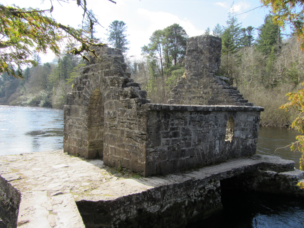 Enclosure in Kilquire LowerEnclosure · 594 yd
 IndicatedFairy fort / earthen ringfort · 758 yd
 Bawn in Kilquire LowerBawn · 1290 yd
 Church in ruinsChurch · 1402 yd
 Castle in ruinsCastle, tower house · 1552 yd
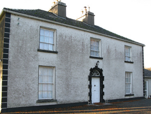 Fort Villefarm house · 1719 yd
 SycamoreSycamore · 3.2 mi
 European ashEuropean ash · 3.6 mi
 LabbadermotCave · 4.8 mi
 Crane IslandIslet · 6.0 mi
 Cow IslandIslet · 6.1 mi
 School of FalconryHeritage attraction · 7.9 mi