What is recorded here
Latoon South holds an 18th century field system where abandoned settlement may have lived beside the road now carrying traffic from Ballycasey to Dromoland. Its banks are no longer mysterious enough to call unrecorded, yet they remain small enough to escape memory. A house may have stood there, a family may have worked the soil and vanished, leaving only ridges the road nearly erased.
Listed as ‘Settlement deserted, possible, site’ in the SMR (1992) and the RMP (1996). Trial excavations in 1995 (Licence no. 95E0133) in advance of the N18/N19 road improvement scheme from Ballycasey to Dromoland demonstrated that the field banks are 18th century in date. (Hanley 1997, 9, no. 33)
Compiled by: Mary Tunney
Date of upload: 20 July 2016
The monument record does not grant public access. Check the route and ask the landowner before entering private land.
- What survives
- Recorded monument
Places near here
 HawthornHawthorn · 199 yd
 Latoon Bridgebridge · 485 yd
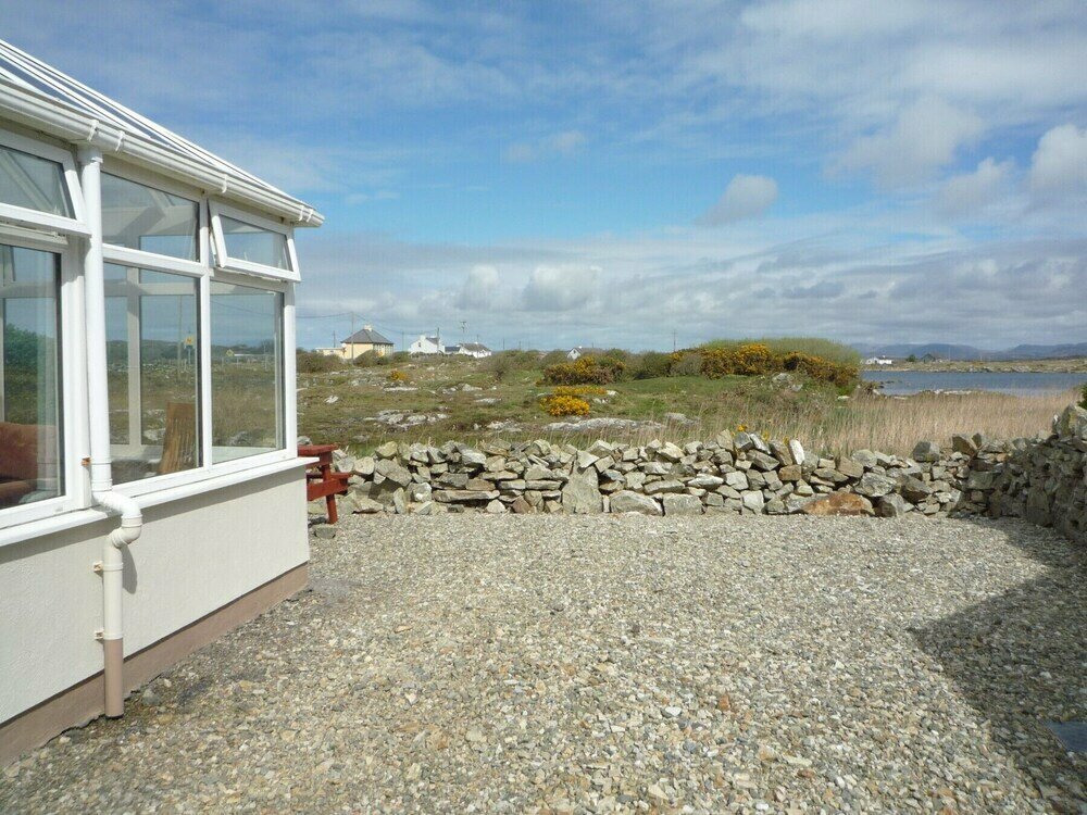 Enclosure in Ballyconneely,ballygirreenEnclosure · 1270 yd
 Enclosure in CastlefergusEnclosure · 1288 yd
 Dromoland CastleCastle, unclassified · 1459 yd
 belvederebelvedere · 1514 yd
 Castlefergus or Ballyhannan(in Rns) 1922Castle, tower house · 1608 yd
 Mooghaun WoodsWood · 1.7 mi
 Mooghaun HillfortArchaeological place · 1.9 mi
 G.A.A. Commemorative StoneMemorial · 2.5 mi
 Irish Famine MemorialMemorial · 2.5 mi
 Quin AbbeyHeritage attraction · 3.1 mi