
What is recorded here
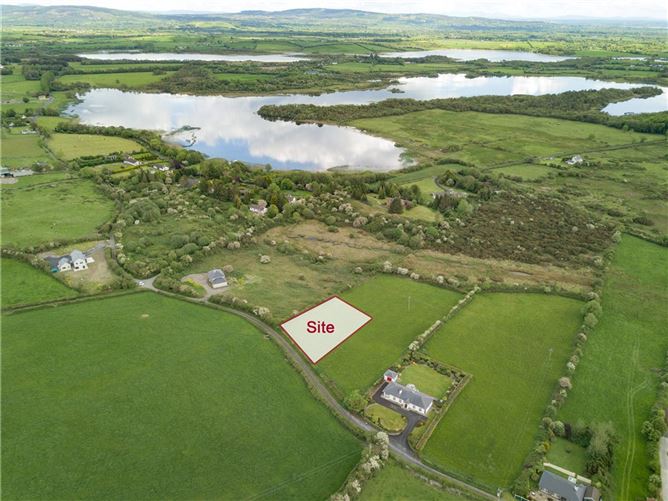
In a large field on pasture on the E bank of the River Rine. A subcircular enclosure (c. 26m N-S; c. 23m E-W) defined by a bank. The enclosure is visible on a Google Earth image, taken 5 February 2009, accessed 9 March 2015.
Compiled by: Mary Tunney
Date of upload: 9 March 2015
The monument record does not grant public access. Check the route and ask the landowner before entering private land.
- What survives
- Recorded monument
Places near here
 Enclosure in Derreen (islands By.)Enclosure · 456 yd
 Castlefergus or Ballyhannan(in Rns) 1922Castle, tower house · 472 yd
 Enclosure in Carrowmeer (bunratty Upper By.),castlefergusEnclosure · 890 yd
 Latoon Bridgebridge · 1052 yd
 HawthornHawthorn · 1427 yd
 Dromoland CastleCastle, unclassified · 1708 yd
 Glenviewrailway station · 1748 yd
 Mooghaun WoodsWood · 1.5 mi
 Mooghaun HillfortArchaeological place · 1.6 mi
 Quin AbbeyHeritage attraction · 2.4 mi
 G.A.A. Commemorative StoneMemorial · 2.7 mi
 Irish Famine MemorialMemorial · 2.7 mi
Other information
Photo: Credit not shown in the picture search · Rights wording not checked; contact us if this picture should be removed