What is recorded here
In pasture. Aerial photographs (CUCAP BDN 97 & 98, 1970) show series of low earthen banks enclosing subrectangular fields extending over an area of c. 10, 000 sq. m. Partly levelled during land reclamation. Incorporated into the field system were two enclosures (MA118-078003-; MA118-078004-), also levelled. Isolated portions of the field system at N, and at E where it incorporates a cashel (MA118-078001-), are extant.
The above description has been derived from D. Lavelle (compiler), An Archaeological Survey of Ballinrobe and District including Lough Mask and Lough Carra. Lough Mask and Lough Carra Tourist Development Association (1994), No. 575.
Date of upload: 13 December 2013
The monument record does not grant public access. Check the route and ask the landowner before entering private land.
- What survives
- Recorded monument
Places near here
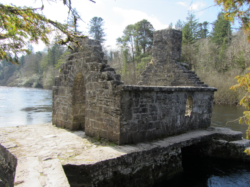 Enclosure in Kilquire LowerEnclosure · 428 yd
 Bawn in Kilquire LowerBawn · 558 yd
 Church in ruinsChurch · 675 yd
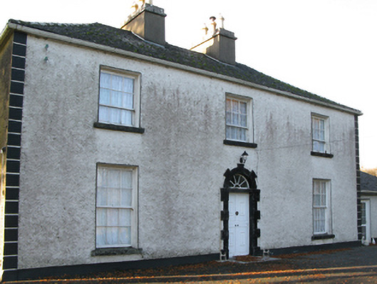 Fort Villefarm house · 1099 yd
 Enclosure in TullyduffEnclosure · 1135 yd
 Castle in ruinsCastle, tower house · 1.1 mi
 SycamoreSycamore · 3.4 mi
 European YewEuropean Yew · 3.5 mi
 Crane IslandIslet · 6.4 mi
 Cow IslandIslet · 6.5 mi
 School of FalconryHeritage attraction · 8.4 mi
 Ross Errilly FriaryHeritage attraction · 8.6 mi