What is recorded here
On a gentle N-facing slope in mixed tillage and pasture and abutting the NE and E limits of a possible ecclesiastical enclosure (KD017-018003-). A large, roughly rectangular area (dims. L c. 350m NW-SE; Wth c. 200m NE-SW), which is known locally as 'Old Town' carries a series of small, rectangular fields (av. dims L c. 30m; Wth c. 20m) defined by a mixture of low earthen banks (av. Wth 3m; av. H 0.4m) and scarps (H 0.5m). They lie to the E and W of a low, central, meandering scarp (N-S; H 0.5m over E) which terminates in a short length of narrow track way at N and at a roughly rectangular enclosure (KD017-019002-) at S. (CUCAP ATA 67 (1967); CUCAP AVR 6 (1968))
Compiled by: Gearóid Conroy
Date of upload: 10 June 2011
The monument record does not grant public access. Check the route and ask the landowner before entering private land.
- What survives
- Recorded monument
Places near here
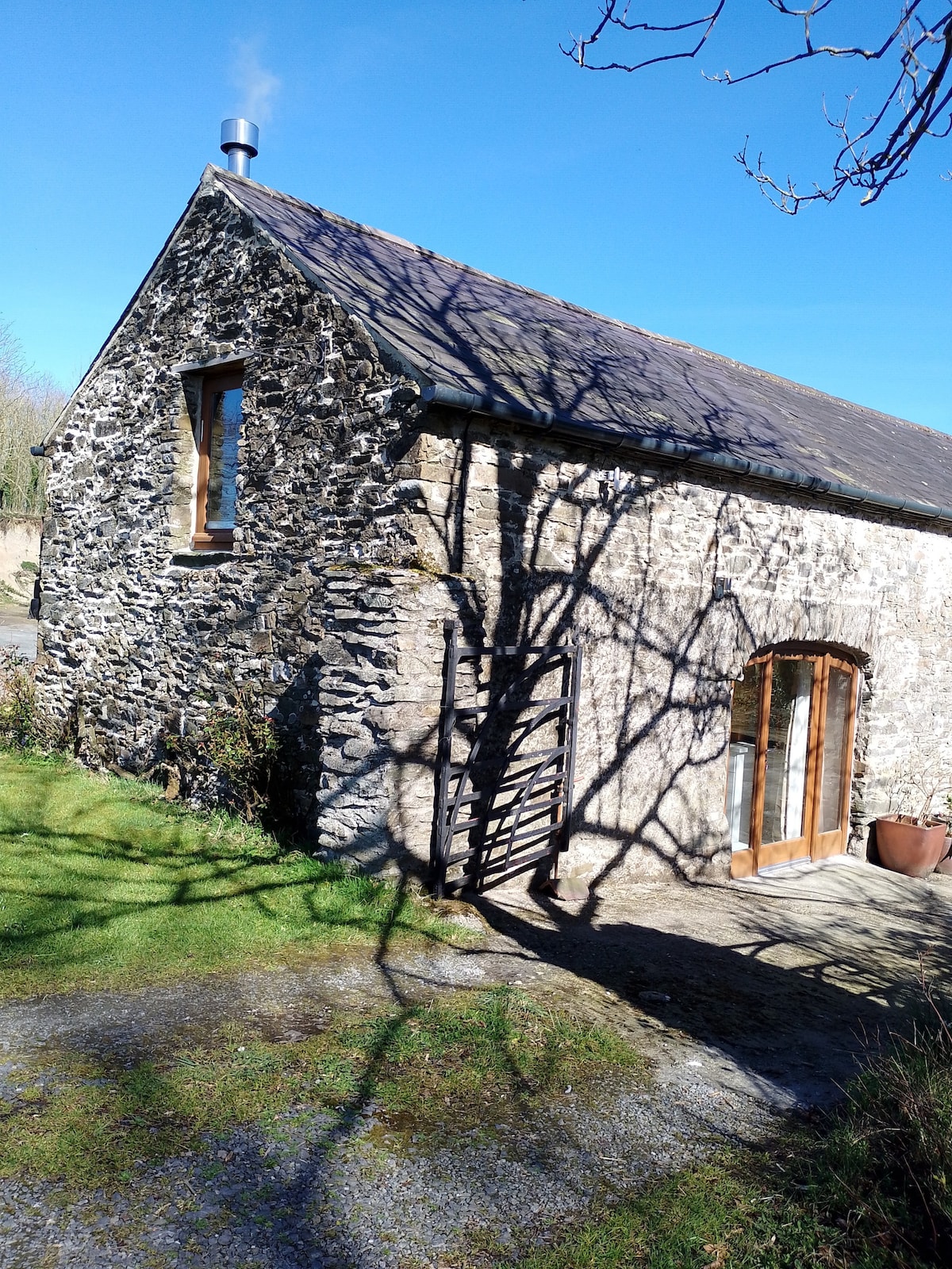 Enclosure in Kilmoney NorthEnclosure · 124 yd
 Church in Kilmoney NorthChurch · 159 yd
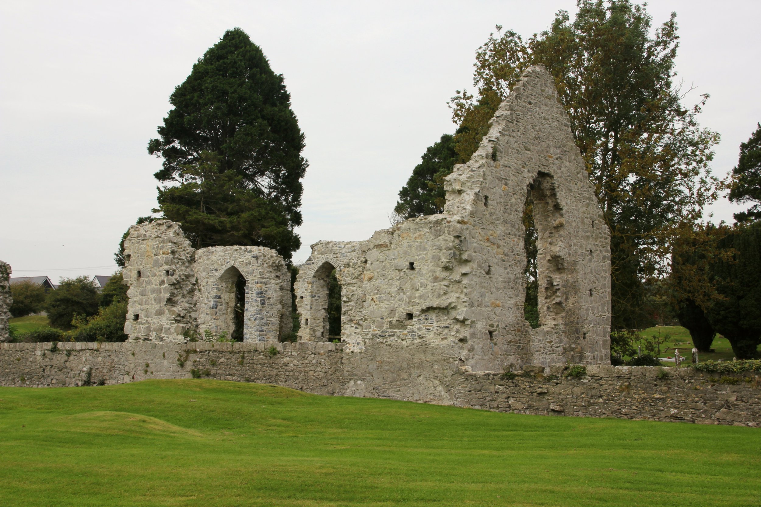 Site of Cloncurry ChurchChurch · 1354 yd
 Cappanargid Church (in ruins)Church · 1756 yd
 Chair of KildareCastle, unclassified · 1.9 mi
 Bithia Mary CrokerMemorial · 2.0 mi
 Site of CastleCastle, tower house · 2.2 mi
 Community OrchardNature reserve · 2.4 mi
 Killinthomas Wood (Rathangan)Wood · 2.5 mi
 The Fairy BowerHeritage attraction · 3.2 mi
 Lullymore Heritage ParkHeritage attraction · 3.2 mi
 Grand Canal WayVisitor information · 6.4 mi