What is recorded here
Situated on the flood-plain of the River Blackwater, on the S bank. An area of about 8.5 ha (c. 21 acres) contains small rectangular fields (dims c. 40m x. c. 30m) defined by banks (Wth 3-5m; max. H 0.6m) and fosses or hollow-ways (Wth c. 5-10m), or scarps (H 0.5-2m). A mound (diam. 14m E-W; 12m N-S; H 1m) is incorporated into the NE angle of one field. An aerial photograph (CUCAP: ASV 66) shows some of the fields as cropmark features defined by banks with ditches on either side. The stone house (ME017-023----) is at the centre of the system and is probably contemporary with it. The fields are so regular that it is possible that it represents a designed landscape associated with the house. A bank (L c. 80m; Wth of top 4.5m; H at S 1.4m) extending NW from the house has a hollow way (Wth of top 10m; D at S 1m) on its S side.
The above description is derived from the published 'Archaeological Inventory of County Meath' (Dublin: Stationery Office, 1987). In certain instances the entries have been revised and updated in the light of recent research.
Compiled by: Michael Moore
Date of revised upload: 22 June 2016
The monument record does not grant public access. Check the route and ask the landowner before entering private land.
- What survives
- Recorded monument
Places near here
 Castle ruinsCastle · 46 yd
 Orchard WoodWood · 168 yd
 Eel Weir IslandWood · 456 yd
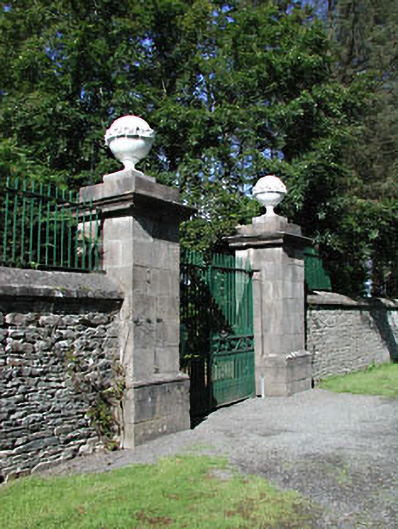 Headfort Housedemesne walls/gates/railings · 649 yd
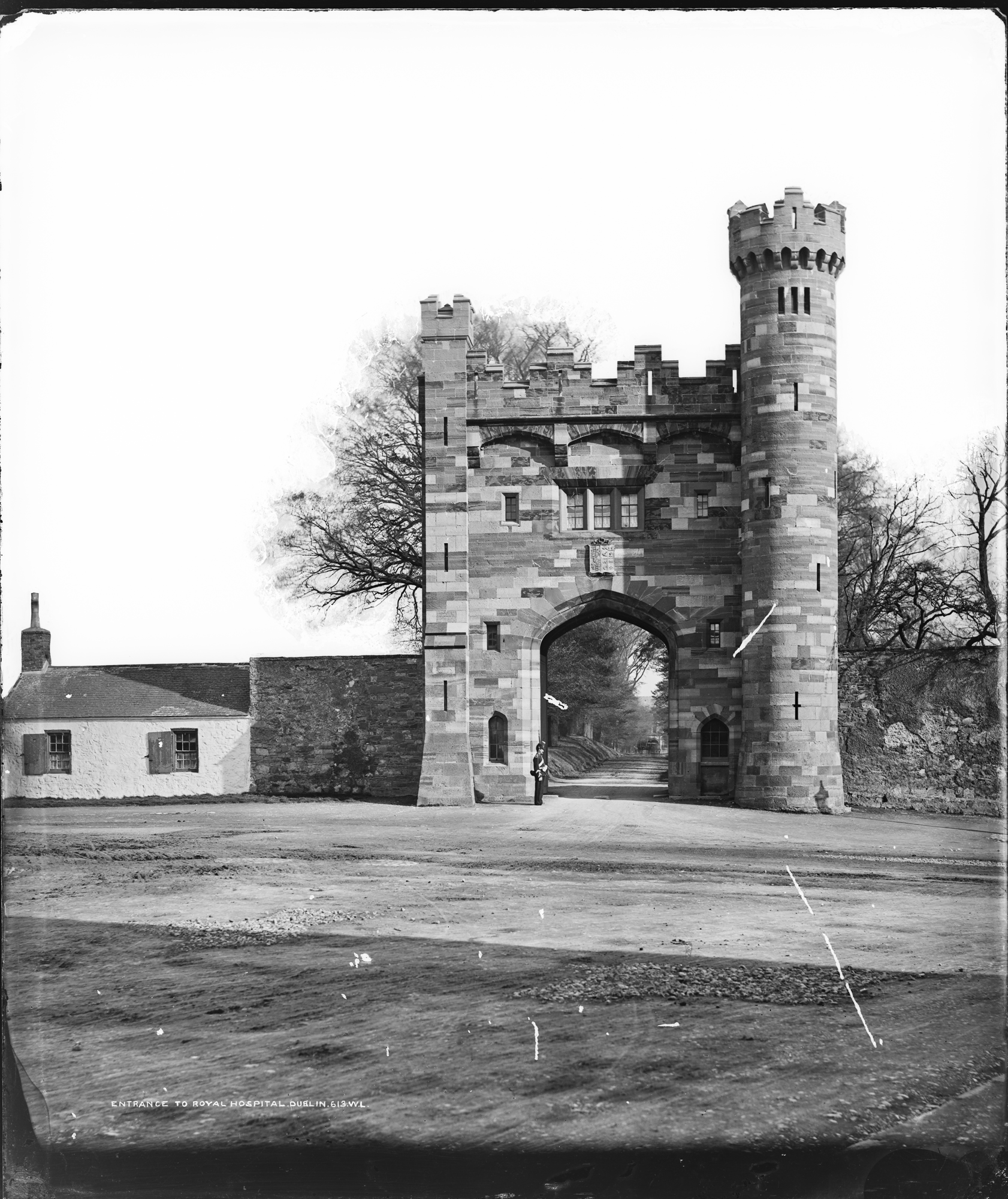 Enclosure in Kilmainham (headford)Enclosure · 672 yd
 Enclosure in SedenrathEnclosure · 691 yd
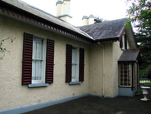 Kenlis Lodgehouse · 1.1 mi
 Saint John's CemeteryMemorial · 1.2 mi
 The Parnell GardenMemorial · 1.3 mi
 CastleCastle, unclassified · 1.4 mi
 BalreaskMountain / peak · 1.9 mi
 BallybegMountain / peak · 2.2 mi