What is recorded here
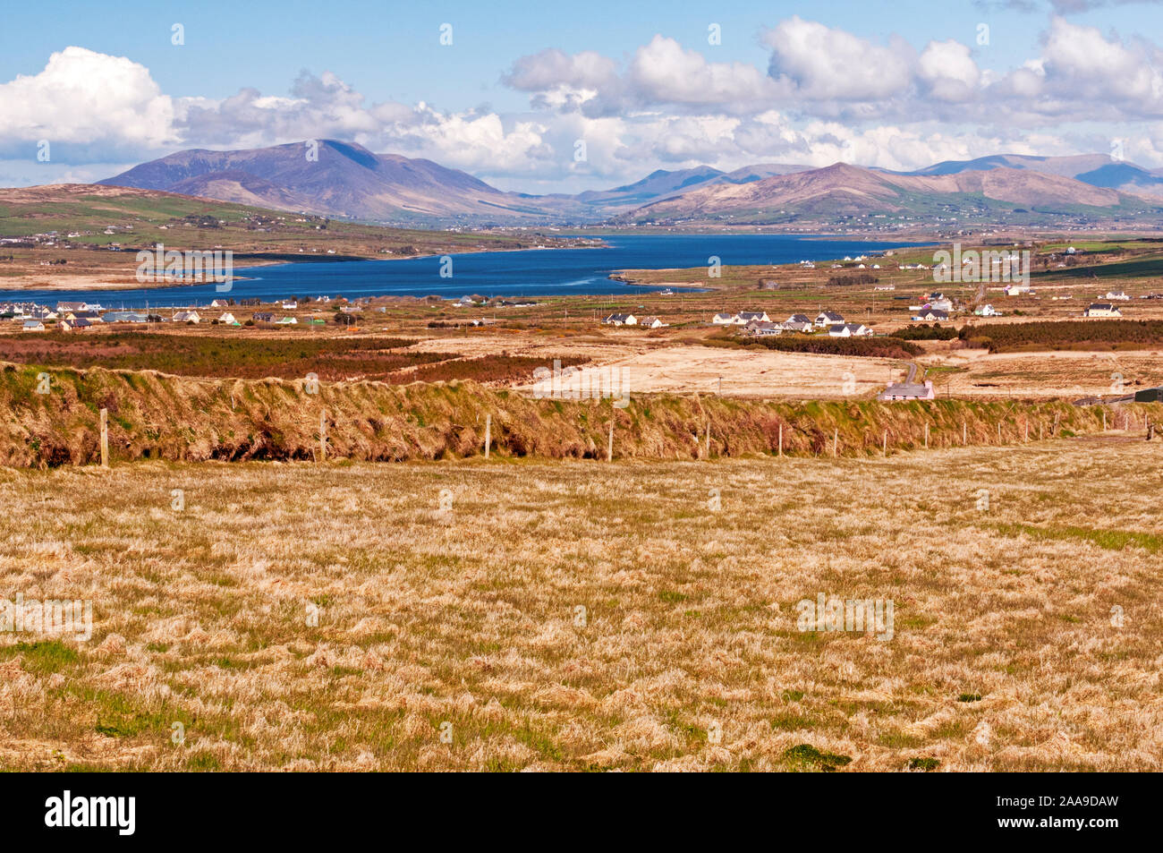
In rough hill grazing on shallow bog on the lower SE-facing slopes of Knockmore with a view across Castlemain Harbour. The remains of both linear and curvilinear stretches of field walls (T 0.5m; H 0.1-0.5m) protrude above the surface of shallow bog in a roughly rectangular area (c. 190m ENE-WSW; c. 130m NNW-SSE). The remains of the walls consist mainly of intermittent, upright slabs set at right angles to the line of the wall. Hut site (KE045-075001-) is within the field walls.
Field system and hut site described by Cuppage (1986, 417, no. 1391) as follows; 'In rough wet pastureland, within an old field system. A circular enclosure, possibly the remains of a hut. It survives as a drystone-lined hollow which appears to have been excavated out of the centre of a natural mound. Abutting the wall, at the W side of the interior, is a rectangular, drystone-lined pit, 1.4 x 1.5m x .5m deep. D: c. 5.2m. H: 1m'.
Compiled by: Caimin O'Brien
Date of upload: 7 April 2022
The monument record does not grant public access. Check the route and ask the landowner before entering private land.
- What survives
- Recorded monument
Places near here
 Hut site in CaherpierceHut site · 171 yd
 IndicatedHoly well · 592 yd
 KilnKiln, corn-drying · 862 yd
 Church in LackChurch · 1020 yd
 BeenduffMountain / peak · 1.2 mi
 KnockmoreMountain / peak · 1.3 mi
 Cromane PointHeadland · 1.4 mi
 Inch BeachBeach / strand · 2.8 mi
 Cromane BeachBeach / strand · 3.0 mi
 CastleCastle, unclassified · 4.0 mi
 Faisr's GraveArchaeological place · 4.1 mi
 Site of Camp CastleCastle, unclassified · 4.4 mi