What is recorded here
In undulating pasture, immediately E of abbey (MA121-154001-). Aerial photographs (CUCAP BDN 66, 67, 91, 92, 94) show low earthen banks enclosing oval and rectilinear fields; many with cultivation ridges. Covers an area of c. 51,000 sq.m.
The above description has been derived from D. Lavelle (compiler), An Archaeological Survey of Ballinrobe and District including Lough Mask and Lough Carra. Lough Mask and Lough Carra Tourist Development Association (1994), No. 574.
Attached images:
MA121-154003-_01.JPG
MA121-154003-_02.JPG
MA121-154003-_03.JPG
Date of upload: 14 January 2014
The monument record does not grant public access. Check the route and ask the landowner before entering private land.
- What survives
- Recorded monument
Places near here
 Abbey in ruinsReligious house, Franciscan Third Order Regular · 131 yd
 Enclosure in MoorgagaghEnclosure · 763 yd
 IndicatedEnclosure · 1089 yd
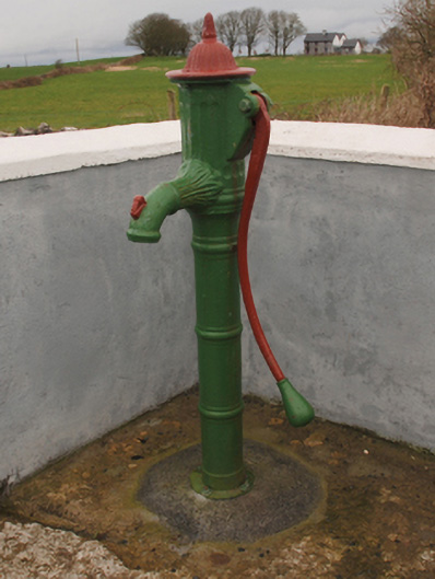 water pumpwater pump · 1.0 mi
 Cregg PlantationForest · 1.1 mi
 Pesooge PlantationForest · 1.6 mi
 Shrule CastleCastle · 1.7 mi
 Shrule Castle in ruinsCastle, hall-house · 1.7 mi
 Ross Errilly FriaryHeritage attraction · 4.2 mi
 Gibbs IslandsIslet · 5.1 mi
 Inis Mhic an TrírIsland · 6.4 mi
 Mass RockNamed rock · 7.3 mi