
What is recorded here
From the National Monuments Service (Archaeological Survey of Ireland) record TS087-034
Places near here
Photo credits
- National Inventory of Architectural Heritage
- Maker not stated on source page, www.alamy.com
- Maker not stated on source page, br.pinterest.com
- Maker not stated on source page, www.flickr.com
- Kmcnamee, Wikimedia Commons · CC BY-SA 4.0
- Alexander Redfern, Wikimedia Commons · CC BY-SA 4.0
- Hywel Williams, Geograph · CC BY-SA 2.0
- Maker not stated on source page, tr.pinterest.com
- Maker not stated on source page, uk.pinterest.com
- Maker not stated on source page, commons.wikimedia.org
- Maker not stated on source page, www.dreamstime.com
 Glengalla BridgeBridge · 490 yd
Explorer Tom Glengalla Bridge has got concrete that looks like it was poured by someone in a hurry and then left out in the rain.…
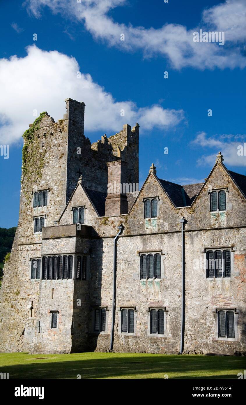 CastleCastle, unclassified · 1.1 mi
Explorer Tom Castle in Gortacullin is unlocated, which means it's hiding from a bishop who refused to visit because he was busy…
 Church in KildanogeChurch · 1.2 mi
Explorer Tom Church in Kildanoge bragged about surviving a storm that flattened three barns and one very proud farmer’s hat. It…
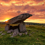 Standing stone in KildanogeStanding stone · 1.2 mi
Explorer Tom Standing stone in Kildanoge is hiding in the forestry, doing something shady when nobody's looking. Maybe it's playing…
 Goatenbridge, Ballybacon / GrangeGAA ground · 1.3 mi
 Goats BridgeBridge · 1.3 mi
Explorer Tom Goats Bridge in Curragh is exactly what you’d expect from a bridge named after animals: a bit of a mess but functional.…
 The VeeViewpoint · 1.7 mi
Explorer Tom The Vee thinks the road leading to it is a bit of a wimp for being so straight and predictable all the time. It prefers…
 Site of Curragh CastleCastle, unclassified · 1.8 mi
Explorer Tom Site of Curragh Castle has a prophecy that says it will rise again when the cows stop grazing, which might never…
 Church in Lodge (ballybacon Par.)Church · 1.8 mi
Explorer Tom Church in Lodge is sitting by that stream, keeping its own very specific superstition alive for anyone who dares to…
 Ballybacon Church (in ruins)Church · 1.8 mi
Explorer Tom Ballybacon Church has a fiddler who played there all night, and the ivy still sways to the rhythm if you listen…
 Liam Lynch MonumentMonument · 2.1 mi
Explorer Tom The Liam Lynch Monument is still counting exactly how many cups of tea it took to build this thing in the first place.…
 Shanrahan CemeteryCemetery · 4.8 mi
Explorer Tom Shanrahan Cemetery is claiming it invented the concept of resting in peace locally. The locals are laughing, but…
More archaeology and monuments in County Tipperary · All of County Tipperary

What do you know about this place?Tap to add a comment or ask a question