What is recorded here
Field boundaries running NNW-SSE and ENE-WSW identified as cropmarks of ditches on an aerial photograph (CUCAP BGG033, 16 July 1971). Two ring-ditches (KK019-022001-; KK019-022002-) and a possible enclosure (KK019-022003-) were also identified as cropmarks on this aerial photograph. A field ditch, running roughly NNW-SSE, runs along the E edge of one ring-ditch (KK019-022002-) while running through the other ring-ditch (KK019-022001-), with the ENE-WSW running across the enclosure, which suggests that the field system post-dates the enclosure and the ring-ditches.
See attached aerial photograph CUCAP BGG033, 16 July 1971
Compiled by: Jean Farrelly
Date of upload: 23 September 2020
The monument record does not grant public access. Check the route and ask the landowner before entering private land.
- What survives
- Recorded monument
Places near here
 Enclosure in Kilcreen (crannagh By.)Enclosure · 37 yd
 Kilcreen Lodgehouse · 212 yd
 Bawn in Kilcreen (shillelogher By.)Bawn · 635 yd
 European ashEuropean ash · 689 yd
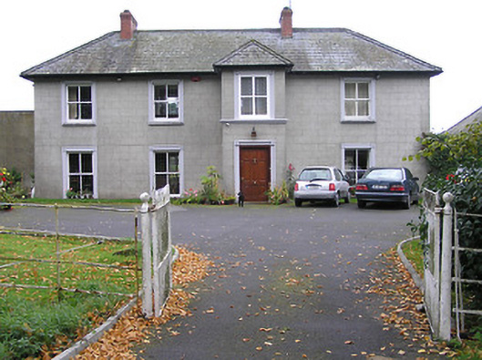 Ayrfieldhouse · 738 yd
 St. Canices WellHoly well · 758 yd
 Paddy ButlerMemorial · 808 yd
 Kilkenny CreameryMemorial · 832 yd
 Bawn in Gardens (kilkenny City By., St. John's Par.)Bawn · 842 yd
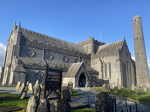 St. Canice's CathedralVisitor information · 1000 yd
 Black AbbeyVisitor information · 1025 yd
 Saint Canice's Cathedral Round TowerViewpoint · 1046 yd