What is recorded here
On a S-facing slope in grassland overlooking bogland to S. Aerial reconnaissance in July 1969 (CUCAP AYN 72) revealed a series of small quadrangular fields covering an area c. 300m WSE-ENE by c. 100m SSE-NNE. A possible house (GA084-134001-) and associated paddocks were visible at the centre. No visible surface trace survives.
The above description is derived from the published 'Archaeological Inventory of County Galway Vol. II - North Galway'. Compiled by Olive Alcock, Kathy de hÓra and Paul Gosling (Dublin: Stationery Office, 1999).
Date of upload: 05 August 2010
The monument record does not grant public access. Check the route and ask the landowner before entering private land.
- What survives
- Recorded monument
Places near here
 Ecclesiastical enclosure in Kilcornan (kilconnell By.)Ecclesiastical enclosure · 286 yd
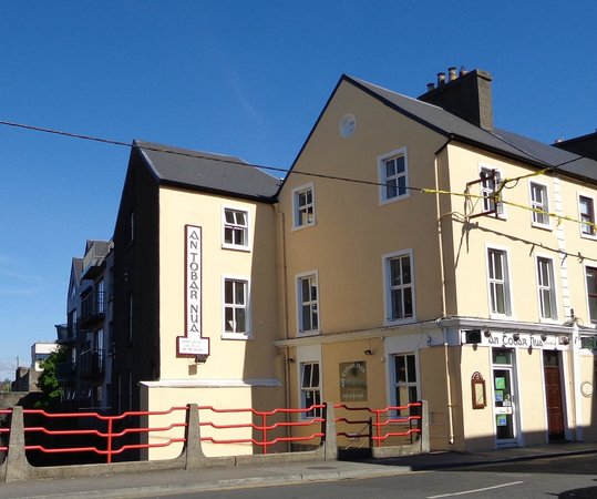 Tobar PadraigHoly well · 1335 yd
 Quarry in Carrowntober WestQuarry · 1561 yd
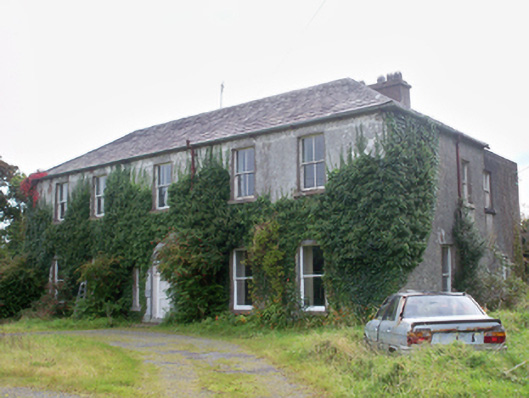 Graigabbey HouseOfficially recorded historic building · 1694 yd
 Castle (in ruins)Castle, tower house · 1.3 mi
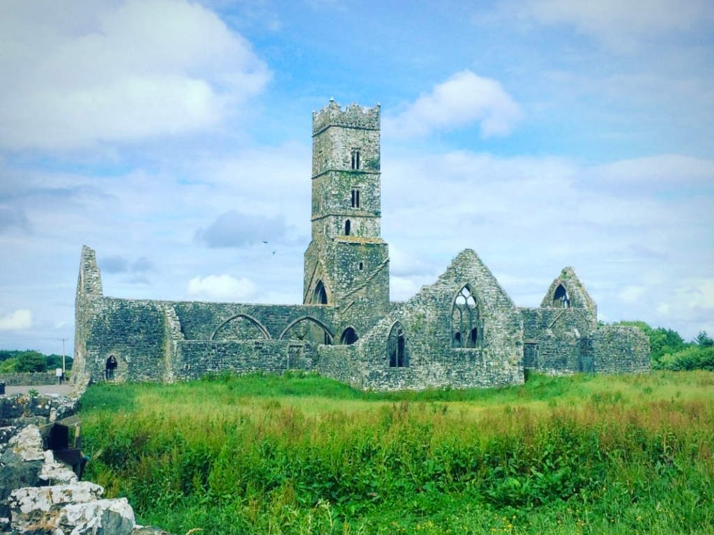 Cloonbrusk Castle (in ruins)Castle, unclassified · 1.4 mi
 Athenry CastleHeritage attraction · 1.5 mi
 First Battle of Athenrybattle · 1.6 mi
 Athenry AbbeyHeritage attraction · 1.6 mi
 Horse-chestnutHorse-chestnut · 1.6 mi
 Moyard WoodWood · 3.1 mi
 Barrack IslandIslet · 9.5 mi