What is recorded here
On a spur jutting NW from a NW-facing slope. An area of about 2.5 acres (c. 1 ha) contains three rectangular fields (dims 15-24m x 13-15m) of grass with some scrub defined by earth and stone banks (Wth 1.2-1.5m; H 0.2-0.5m).
Compiled by: Michael Moore
Date of upload: 24 August 2010
The monument record does not grant public access. Check the route and ask the landowner before entering private land.
- What survives
- Recorded monument
Places near here
 Sweathouse in CrowsgapSweathouse · 335 yd
 IndicatedFairy fort / earthen ringfort · 509 yd
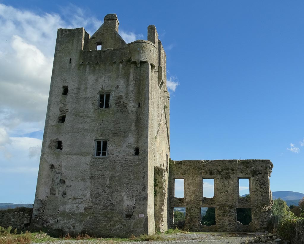
 CastleCastle, unclassified · 1321 yd
 Church in SkrineChurch · 1.2 mi
 Mote Parkdemesne walls/gates/railings · 1.5 mi
 TogherfinnForest · 1.7 mi
 Ballymurray ForestForest · 1.7 mi
 Hangman's HillMountain / peak · 1.8 mi
 Galey CastleCastle, tower house · 3.0 mi
 Galey BayBay · 3.2 mi
 Cruit BayBay · 3.7 mi
 InchmoreIslet · 4.0 mi