
What is recorded here
Twelve broken wall lines still mark a limestone reef above Tralee Bay, perhaps twenty metres long and barely forty centimetres high. They may have divided grass, goats, flame or memory before written maps existed. The stones do not claim to be grand; they claim to have watched the water turn.
'Located on a limestone reef 90m north-west of that on which KE028-090---- is located. The reef affords commanding views in all directions particularly toTralee Bay at the south and south-west. The surface of the reef bears up to 12 separate short stretches of low stone walls (KE028-117----), sometimes composed of limestone rubble and at other times composed of lines intermittent boulders with some rubble between. The longest stretch of wall measures 20m and remains to a height of only 0.45m.'
Description from ‘The Prehistoric Settlement of the Lee Valley, Tralee, Co. Kerry; A Landscape Perspective’ by Michael Connolly. PhD Thesis UCC 2008
Date of upload: 05 July 2012
The monument record does not grant public access. Check the route and ask the landowner before entering private land.
- What survives
- Recorded monument
Places near here
 Man-made underground passage in Kerries WestMan-made underground passage · 189 yd
 Enclosure in Kerries WestEnclosure · 212 yd
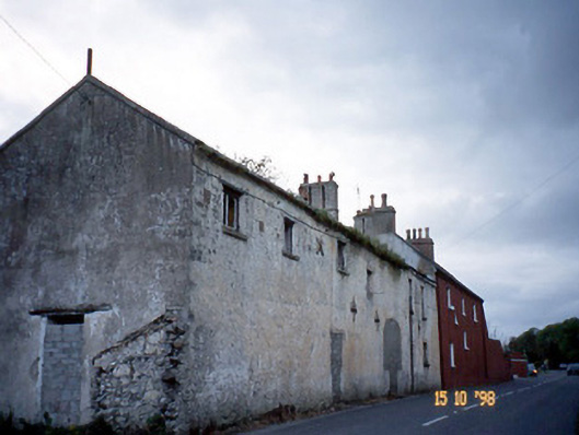 Kent Lodgegates/railings/walls · 1622 yd
 Clogherbrien Church (in ruins)Church · 1.2 mi
 View of WindmillHeritage attraction · 1.7 mi
 Blennerville WindmillHeritage attraction · 1.8 mi
 Tralee Bay Wetlands Eco and Activity ParkNature reserve · 2.3 mi
 Sonny McCarthy MemorialMonument · 2.6 mi
 Pádraig Mac PiaraisMemorial · 2.6 mi
 Site of CastleCastle, unclassified · 2.6 mi
 Tobar na MoltSpring · 3.6 mi
 Knockmichael MountainMountain / peak · 3.8 mi
Other information
Photo: Credit not shown in the picture search · Rights wording not checked; contact us if this picture should be removed