
What is recorded here
'Located 25m east of recorded monument KE028-090---- is a surviving arc of earthen bank approximately 60m in length, which is observed by the curve of a modern field boundary. The bank is 0.65m in height and 5.9m in width. This arc of bank may be part of a large enclosure, as possible crop mark evidence suggests an enclosure, linking to this extant bank, with an approximate diameter of 124m. However, it may be that the undulations in the field are influencing this interpretation. Nevertheless the arc of bank and the flatness of the arc suggest the former presence of a large earthen-banked enclosure.'
Description from ‘The Prehistoric Settlement of the Lee Valley, Tralee, Co. Kerry; A Landscape Perspective’ by Michael Connolly. PhD Thesis UCC 2008
Date of upload: 05 July 2012
The monument record does not grant public access. Check the route and ask the landowner before entering private land.
- What survives
- Recorded monument
Places near here
 Man-made underground passage in Kerries WestMan-made underground passage · 81 yd
 Field system in Kerries WestField system · 212 yd
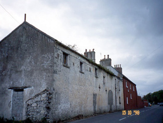 Kent Lodgegates/railings/walls · 1.0 mi
 Clogherbrien Church (in ruins)Church · 1.1 mi
 View of WindmillHeritage attraction · 1.6 mi
 Blennerville WindmillHeritage attraction · 1.6 mi
 Tralee Bay Wetlands Eco and Activity ParkNature reserve · 2.2 mi
 Sonny McCarthy MemorialMonument · 2.4 mi
 Pádraig Mac PiaraisMemorial · 2.5 mi
 Site of CastleCastle, unclassified · 2.7 mi
 Tobar na MoltSpring · 3.6 mi
 Knockmichael MountainMountain / peak · 3.7 mi
Other information
Photo: Credit not shown in the picture search · Rights wording not checked; contact us if this picture should be removed