What is recorded here
Situated on a level landscape. The cropmark of irregularly-shaped fields defined by drains and covering an area of about 20 acres (c. 8 ha) is visible on Google Earth (29/06/2018; 14/07/2018). A large circular enclosure (diam. c. 100m) defined by a single fosse or ditch feature has some rectilinear fields (dims c. 60m x c. 40m) attached to it extending off to the SE. No house sites or roadways can be detected within it, but the fields are overlain by the cropmarks of two ditches on either side of a NW-SE field bank that is marked on the 1836 and 1912 editions of the OS 6-inch map. It was first reported by Anthony Murphy and it was also reported by Jean Charles Caillere.
See the attached image from Google Earth 14/07/2018
Compiled by: Michael Moore
Date of upload: 7 June 2019
The monument record does not grant public access. Check the route and ask the landowner before entering private land.
- What survives
- Recorded monument
Places near here
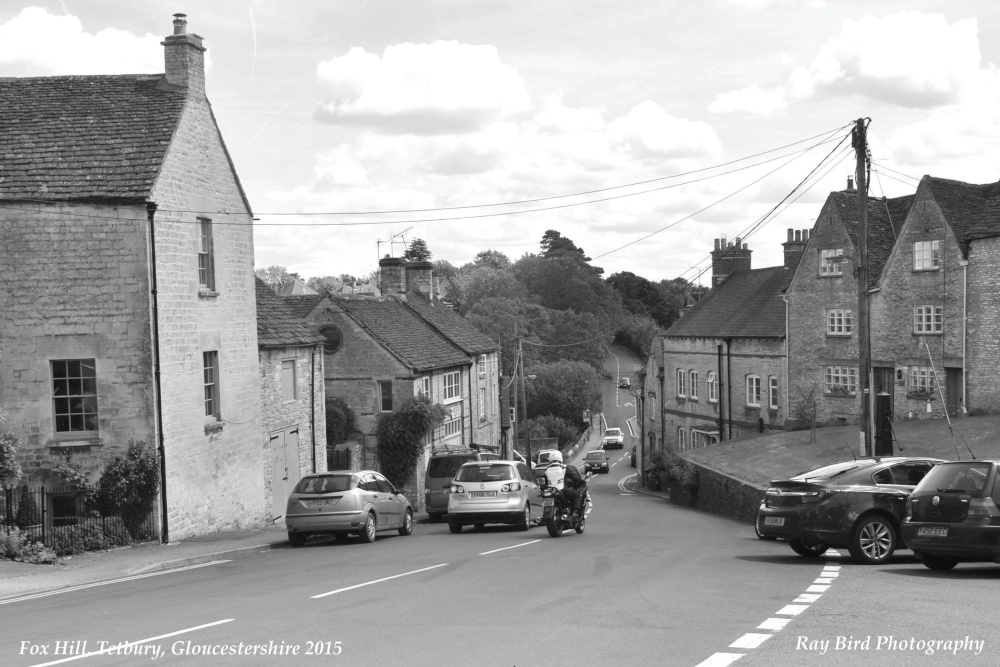 Fox HillEnclosure · 723 yd
 Enclosure in CarberrystownEnclosure · 1080 yd
 IndicatedChurch · 1666 yd
 CastleCastle, motte · 1670 yd
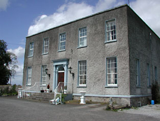 Newhaggard Housemiller's house · 1.4 mi
 Trim CastleCastle, Anglo-Norman masonry castle · 2.0 mi
 Saints IslandForest · 3.5 mi
 Wych ElmWych Elm · 4.1 mi
 FraineMountain / peak · 6.7 mi
 Old Bog Road made famous by Teresa Bryton 1868-1943Memorial · 8.1 mi
 Cloncurry GraveyardHeritage attraction · 8.1 mi
 Kilgar GardensHeritage attraction · 8.5 mi