What is recorded here
Situated at the NE end of the NE-SW ridge of what was once Inishmucker Island in the River Shannon. This feature was first identified by Susan Curran as part of an M.A. thesis with University College Dublin using a LiDAR survey dataset commissioned by Leitrim County Council and the National Roads Authority. Two small enclosures (dims c. 17-18m) are defined by interrupted sections of low scarps (H 0.2-0.4m) with traces of other field boundaries running off them but not surviving beyond the top of the hill and covering c. 0.5 ha (c. 1 acre).
Compiled by: Michael Moore
Date of upload: 14 September, 2015
The monument record does not grant public access. Check the route and ask the landowner before entering private land.
- What survives
- Recorded monument
Places near here
 Enclosure in DanesfortEnclosure · 826 yd
 IndicatedFairy fort / earthen ringfort · 1043 yd
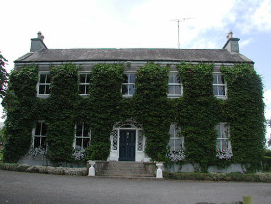 Hollywellhouse · 1343 yd
 Moon RiverHeritage attraction · 1425 yd
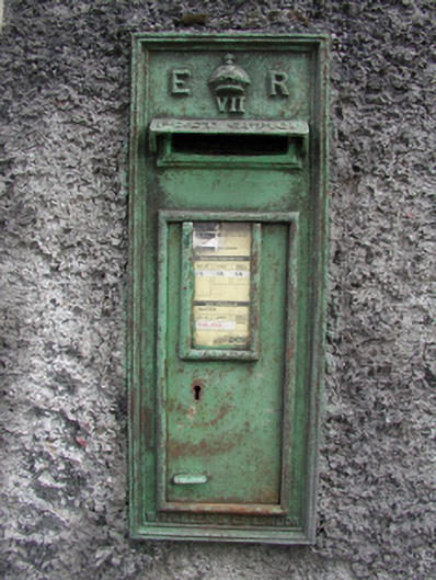 post boxpost box · 1451 yd
 CastlecarraCastle, unclassified · 1.9 mi
 Patrick Gill Memorial Plaque (IRA)Monument · 3.2 mi
 Robert Strawbridge MemorialMemorial · 3.2 mi
 Wildlife AreaNature reserve · 3.3 mi
 Hughestown WoodForest · 3.4 mi
 Site of Dangan CastleCastle, unclassified · 3.5 mi
 Leabaidh DermotCave · 5.3 mi