What is recorded here
Field system described by Cuppage (1986, 416, no. 1383) as follows; 'An Bothán: A circular drystone foundation [KE061-002002-], c. 2.5m in diameter internally. An old field system and cultivation ridges [KE061-002001-] are visible in the near vicinity (O'Leary and Snodgrass 1976, 15)'.
The monument record does not grant public access. Check the route and ask the landowner before entering private land.
- What survives
- Recorded monument
Places near here
 Cultivation ridges in Inis Na BróCultivation ridges · 24 yd
 Hut site in Inis Na BróHut site · 24 yd
 Inis na BróIslet · 457 yd
 Inis Mhic UileáinIsland · 1274 yd
 Church in Inis Mhic AoibhleáinChurch · 1403 yd
 Rinn Chuas an ÉinHeadland · 1.1 mi
 Inishtearaght LighthouseLighthouse · 2.5 mi
 An Cró MórMountain / peak · 3.2 mi
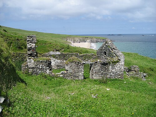 An Blascaod MórIsland · 3.9 mi
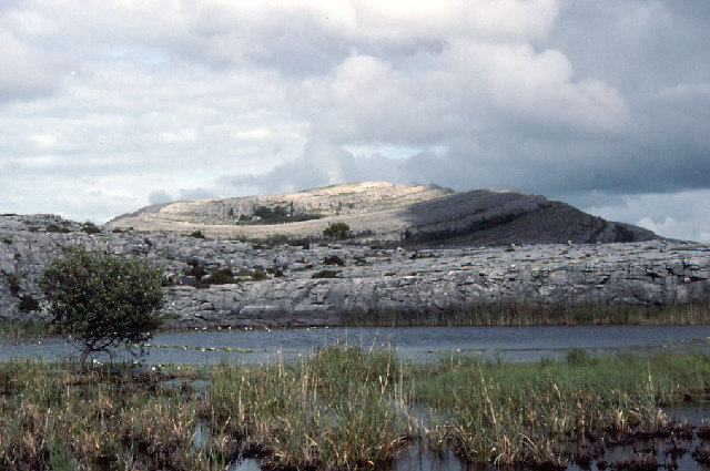 An Mullach RamharMountain / peak · 3.9 mi
 An Dún MórHeadland · 6.8 mi
 Dunmore HeadViewpoint · 6.8 mi