What is recorded here
Situated on a fairly level landscape. An area of about 6 ha (c. 15 acres) contains relict field banks and ditches radiating from the S side of a wide drain (Wth 3-4m; D c. 0.5m; L c. 250m) forming fairly regular fields (dims c. 70m N-S; c. 30 - c. 90m E-W). No house sites are recognised and the area N of the large drain is occupied by grass-covered quarries. Although not represented on any map the fields are probably not very ancient.
The above description is derived from the published 'Archaeological Inventory of County Meath' (Dublin: Stationery Office, 1987). In certain instances the entries have been revised and updated in the light of recent research.
Compiled by: Michael Moore
Date of upload/revision: 12 April 2019
The monument record does not grant public access. Check the route and ask the landowner before entering private land.
- What survives
- Recorded monument
Places near here
 Lough WoodWood · 607 yd
 TuliptreeTuliptree · 708 yd
 FirtFairy fort / earthen ringfort · 1513 yd
 Rath DhuCeremonial enclosure · 1.0 mi
 CastleCastle, unclassified · 1.1 mi
 Scoil Náisiúnta Chaitríona Naofaschool · 1.2 mi
 BallybegMountain / peak · 1.3 mi
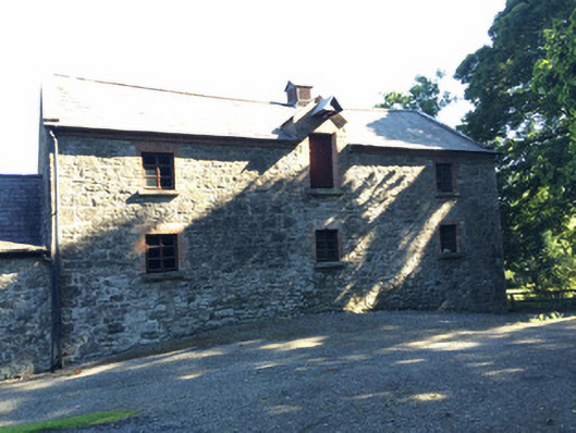 Martry Millmill (water) · 1.5 mi
 Castle ruinsCastle · 1.6 mi
 Saint John's CemeteryMemorial · 2.8 mi
 Faughan HillMountain / peak · 2.9 mi
 The Parnell GardenMemorial · 2.9 mi