What is recorded here
Located on a slight S-facing slope. A limited area (max. dims c. 160m N-S; c. 145m E-W) is divided into small plots (dims c. 20-30m x c. 20-30m) by wide silted drains (Wth 3-5m; D up to 1m), with two small silted ponds at the NW edge. No house sites are present, and it may be post-medieval in date and connected with flax-growing. It can also be seen on vertical imagery.
See the attached enhanced view from Google Earth (24/03/2012)
The above description is derived from the published 'Archaeological Inventory of County Meath' (Dublin: Stationery Office, 1987). In certain instances the entries have been revised and updated in the light of recent research.
Compiled by: Michael Moore
Date of upload: 10 July 2007
Amended: 29 October 2021
The monument record does not grant public access. Check the route and ask the landowner before entering private land.
- What survives
- Recorded monument
Places near here
 Saint Oliver Plunkett 1625-1681Memorial · 846 yd
 EnclosureEnclosure, large enclosure · 1552 yd
 Enclosure in KilgraigueEnclosure · 1610 yd
 Grave YardChurch · 1.4 mi
 Moygaddy Tower HouseRuins · 1.5 mi
 Moygaddy CastleCastle, tower house · 1.5 mi
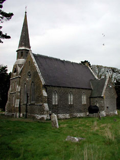 Saint Paul's Church (Moyglare)church/chapel · 1.8 mi
 Lebanon CedarLebanon Cedar · 1.8 mi
 HermesMemorial · 1.8 mi
 Ash HillMountain / peak · 2.2 mi
 Hanwood GardensHeritage attraction · 2.4 mi
 European YewEuropean Yew · 2.5 mi