What is recorded here
Aerial photograph (GB96.FZ.22) shows cropmarks of linear fosses defining the boundaries of a field system associated with two enclosures.
Compiled by: Dr. Gillian Barrett
Date of upload: 08 December 2011
The monument record does not grant public access. Check the route and ask the landowner before entering private land.
- What survives
- Recorded monument
Places near here
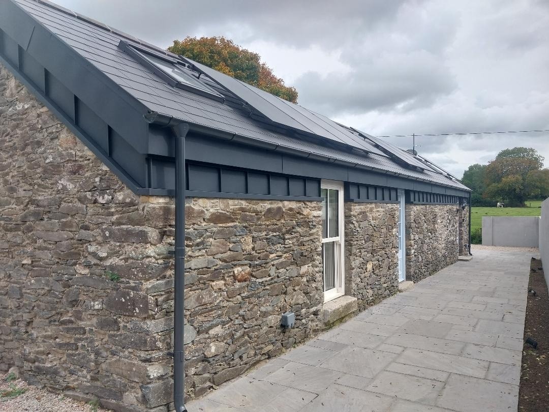 Enclosure in Grangerosnolvan UpperEnclosure · 142 yd
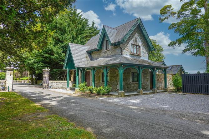 Enclosure in Kilkea Lodge FarmEnclosure · 394 yd
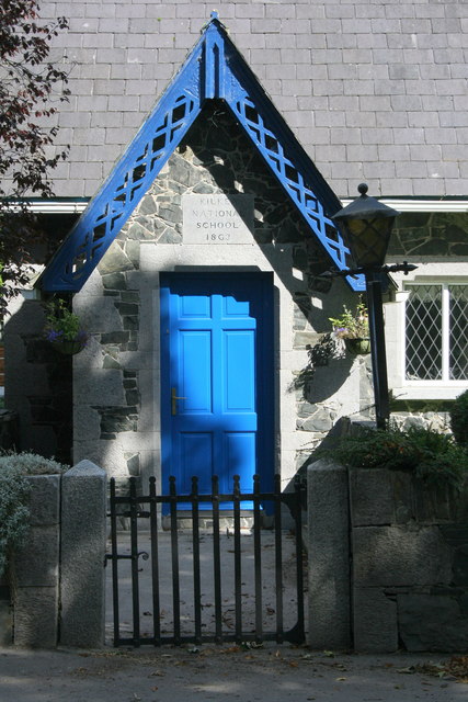 Kilkea National Schoolschool · 871 yd
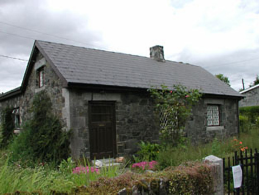 worker's houseworker's house · 872 yd
 MoatCastle, motte · 1348 yd
 Kilkea CastleCastle, tower house · 1486 yd
 Dollardstown WoodForest · 1.2 mi
 Mullaghreelan WoodForest · 1.4 mi
 Lorcán Ó TuathailMemorial · 1.6 mi
 ProclamationMemorial · 3.7 mi
 Castledermot Round TowerHeritage attraction · 3.9 mi
 Franciscan FriaryHeritage attraction · 3.9 mi