What is recorded here
Located on an E-W ridge with rock outcrop and rough pasture at the top of a severe slope down to N, and overlooking Lough Melvin. Collapsed stone field walls covering about 12 acres (c. 4ha) create small rectangular (dims c. 50m x c. 50m) or triangular fields centering on an enclosure (LE002-028002-). Five house-sites or hut-sites are within the fields.
The above description is derived from 'The Archaeological Inventory of County Leitrim' compiled by Michael J. Moore (Dublin: Stationery Office, 2003). In certain instances the entries have been revised and updated in the light of recent research.
Date of upload: 23 September 2008
The monument record does not grant public access. Check the route and ask the landowner before entering private land.
- What survives
- Recorded monument
Places near here
 Enclosure in GorteendarraghEnclosure · 130 yd
 Arroo MountainMountain / peak · 1003 yd
 Giant's GraveArchaeological place · 1455 yd
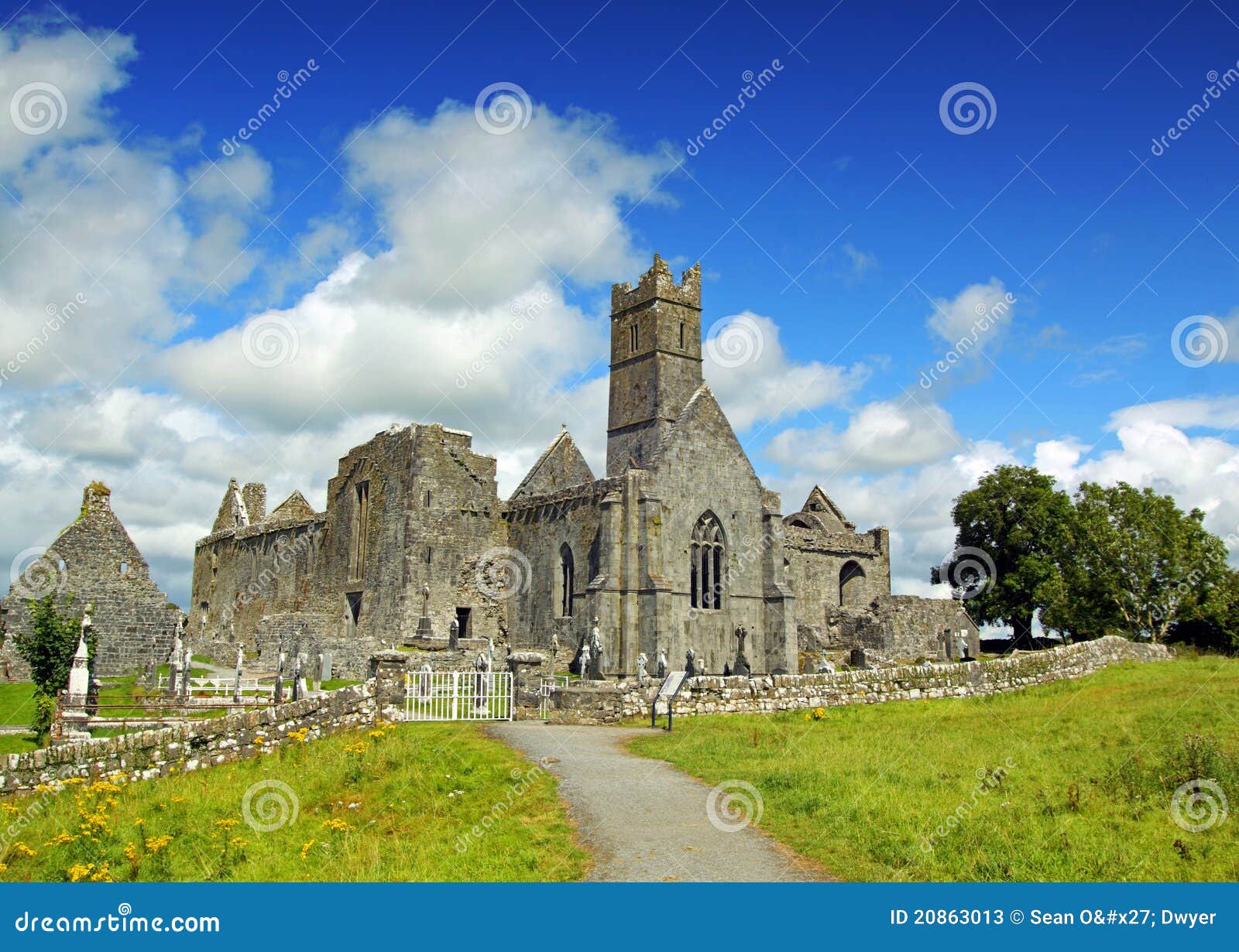 AbbeyChurch · 1.4 mi
 CastleCastle, tower house · 1.4 mi
 Embanked enclosureFairy fort / stone ringfort · 1.6 mi
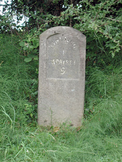 milestone/milepostmilestone/milepost · 1.7 mi
 InisheherIslet · 1.8 mi
 Rosfriar PointHeadland · 2.0 mi
 Conwal NorthMountain / peak · 2.1 mi
 Lareen BayBay · 2.1 mi
 InishmeanIslet · 2.3 mi