What is recorded here
Situated on a gentle SE-facing slope. Earthworks of a field system are visible on vertical aerial photographs from the 1970s (GSIAP: N 684/5). A rectangular grass-covered field (dim 35m NE-SW; 22m NW-SE) defined by low earthen banks is just NW a larger field (dims 42m NE-SW; 35m NW-SE) defined by ditches (Wth c. 2-3m). A grass-covered drain (Wth 2-3m) separates the smaller of these from a third grass-covered field (dims c. 25m NE-SW; c. 15m NW-SE) defined by earthen banks at NW and SW and scarps elsewhere. There may be a house site in a platform (dims 7.5m NE-SW; 4.5m NW-SE) defined by slight grass-covered ditches at its N corner. A sunken hollow way (Wth c. 5m) extends off to the SW (L c. 100m).
The above description is derived from the published 'Archaeological Inventory of County Meath' (Dublin: Stationery Office, 1987). In certain instances the entries have been revised and updated in the light of recent research.
Compiled by: Michael Moore
Date of upload: 10 July 2007
Amended: 2 August 2022
The monument record does not grant public access. Check the route and ask the landowner before entering private land.
- What survives
- Recorded monument
Places near here
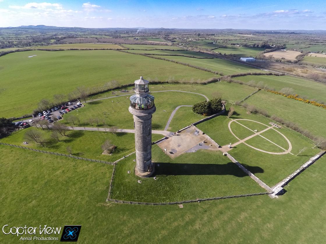 Trinity WellHoly well · 1189 yd
 IndicatedEnclosure · 1228 yd
 Stokestown CastleCastle, unclassified · 1604 yd
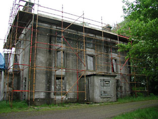 Stephenstown Housecountry house · 1718 yd
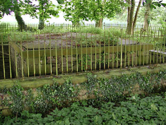 Saint Patrick's Church (Castletown)mausoleum · 1.1 mi
 Castletown FortCastle, motte and bailey · 1.6 mi
 Ugly HillMountain / peak · 1.7 mi
 HeadstownMountain / peak · 1.7 mi
 Headstown ForestForest · 1.8 mi
 Fox CovertWood · 2.1 mi
 Nobber GreenwayMemorial · 3.1 mi
 Pat's Art StudioGallery · 8.3 mi