What is recorded here
Situated at the summit of Red Hill in proximity to a cashel (SL019-064001-) and extending downslope to S and SE. A series of small disused semi-circular, oval, and subrectangular fields defined by low drystone walls are visible on aerial photographs A small number of the walls are still upstanding (typical example Wth. 1.8m; H 0.3m). However most have been levelled during land reclamation.
Compiled by: Patrick F. O'Donovan
Date of upload: 19 January 2011
The monument record does not grant public access. Check the route and ask the landowner before entering private land.
- What survives
- Recorded monument
Places near here
 IndicatedFairy fort / stone ringfort · 95 yd
 Enclosure in Lecarrow (tireragh By., Skreen Ed)Enclosure · 848 yd
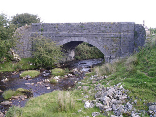 bridgebridge · 1054 yd
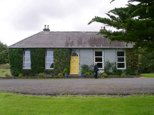 Holy Hill Hermitagehouse · 1160 yd
 Knockalongy North-East TopMountain / peak · 1.9 mi
 KnockalongyMountain / peak · 2.3 mi
 Valley WoodForest · 2.7 mi
 Dunmoran StrandBeach / strand · 2.7 mi
 Bawn in Longford DemesneBawn · 2.9 mi
 Pigeonpark WoodForest · 3.0 mi
 Aughris BeachBeach / strand · 3.0 mi
 Giant's GraveArchaeological place · 3.6 mi