What is recorded here
In pasture, with field system (MA118-102003-) to S. Aerial photograph (CUCAP) taken in 1970 shows extensive area, covered by low earthen banks, defining a number of fields.
The above description has been derived from D. Lavelle (compiler), An Archaeological Survey of Ballinrobe and District including Lough Mask and Lough Carra. Lough Mask and Lough Carra Tourist Development Association (1994), No. 573.
Date of upload: 30 December 2013
The monument record does not grant public access. Check the route and ask the landowner before entering private land.
- What survives
- Recorded monument
Places near here
 Enclosure in TullyduffEnclosure · 388 yd
 Castle in ruinsCastle, tower house · 431 yd
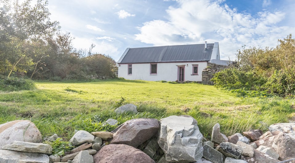 IndicatedFairy fort / earthen ringfort · 634 yd
 Bawn in Kilquire LowerBawn · 1407 yd
 Church in ruinsChurch · 1456 yd
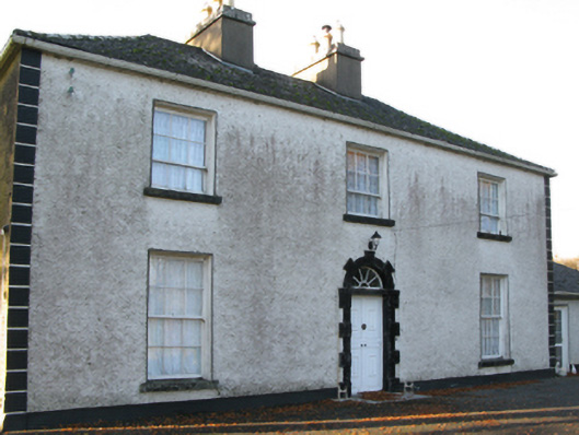 Fort Villefarm house · 1529 yd
 SycamoreSycamore · 3.7 mi
 European ashEuropean ash · 3.7 mi
 LabbadermotCave · 4.7 mi
 Easter IslandIslet · 6.5 mi
 Matthew IslandIslet · 6.7 mi
 School of FalconryHeritage attraction · 7.5 mi