What is recorded here
Fifty metres north of the tower house, earthen banks still divide rough pasture into forgotten fields. A circular enclosure marks the northern edge, suggesting people lived and worked beside the stone tower rather than merely passing it. The land may have fed the tower’s occupants, while the tower watched the fields below.
In rough pasture, 50m N of tower house (MA118-101----). Aerial photograph (CUCAP) shows a series of earthen banks, fields and possible hut sites. May have been settlement associated with tower house. There is a circular enclosure (MA118-100001-) towards the northern limits of the field system.
The above description has been derived from D. Lavelle (compiler), An Archaeological Survey of Ballinrobe and District including Lough Mask and Lough Carra. Lough Mask and Lough Carra Tourist Development Association (1994), No. 572.
Date of upload: 24 December 2013
The monument record does not grant public access. Check the route and ask the landowner before entering private land.
- What survives
- Recorded monument
Places near here
 Castle in ruinsCastle, tower house · 162 yd
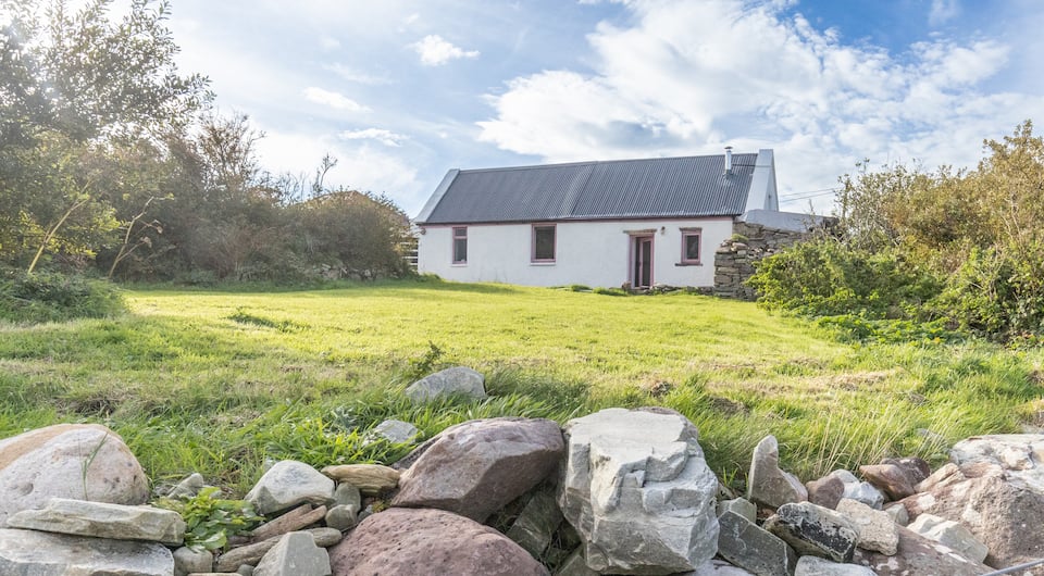 IndicatedFairy fort / earthen ringfort · 241 yd
 Enclosure in Thomastown (kilmaine By., Kilmainemore Par.)Enclosure · 783 yd
 Bawn in Kilquire LowerBawn · 1.0 mi
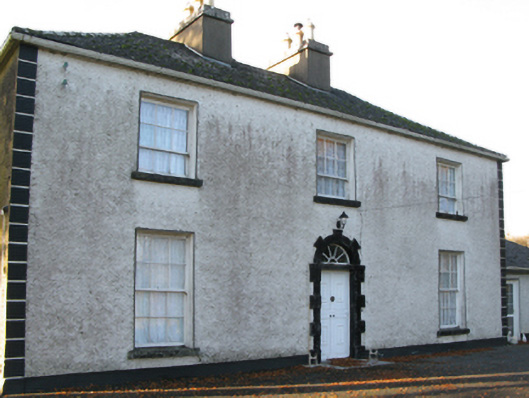 Fort Villefarm house · 1.1 mi
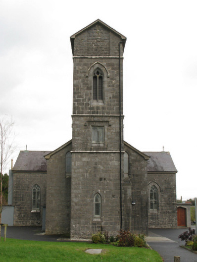 Saint Patrick's Catholic Churchchurch/chapel · 1.3 mi
 European ashEuropean ash · 3.6 mi
 SycamoreSycamore · 3.7 mi
 LabbadermotCave · 4.5 mi
 Easter IslandIslet · 6.3 mi
 Matthew IslandIslet · 6.5 mi
 School of FalconryHeritage attraction · 7.3 mi