
What is recorded here
Duntryleague holds a hidden field system beside a ringfort and boiling pit, visible only through aerial shadows rather than ground marks. The lines stretch east-west across rough pasture, suggesting people farmed or managed the land before forgetting the exact boundary. They may have lived beside the fort, boiled food at the pit, and divided the fields without leaving stones for later eyes.
In rough pasture, associated with a ringfort (LI049-049002-) and fulacht fia (LI049-0273----) in S quadrant of field system. Not marked on OSi 6-inch maps. Field system identified as linear cropmarks running roughly E-W visible on Bórd Gáis Éireann Curraleigh West-Limerick gas pipeline aerial photographs (BGE 1/5000 Site 149; Strip Map 3 Site 3/38) taken 03/11/1984. Field system visible on Digital Globe orthoimage taken between 2011-13 and on Google Earth orthoimages.
See attached BGE location map and Google Earth orthoimages.
Compiled by: Fiona Rooney
Date of upload: 21 September 2021
The monument record does not grant public access. Check the route and ask the landowner before entering private land.
- What survives
- Recorded monument
Places near here
 BarrowBarrow, ditch barrow · 878 yd
 Field system in Newtown (coshlea By.)Field system · 930 yd
 Ryves CastleCastle, unclassified · 1460 yd
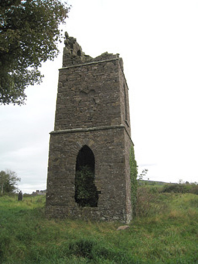 Duntryleague Church (Galbally)church/chapel · 1539 yd
 Duntryleague - hachuredCastle, ringwork · 1554 yd
 Aughavoona Househouse · 1631 yd
 Saint Patrick's WellSpring · 1.2 mi
 Darby's Bed Walk LoopWalking route · 1.5 mi
 Duntryleague HillMountain / peak · 1.5 mi
 Carn (site of)Cairn, burial cairn · 1.7 mi
 St Patrick's WellSpring · 2.3 mi
 SlievereaghMountain / peak · 3.1 mi
Other information
Photo: Credit not shown in the picture search · Rights wording not checked; contact us if this picture should be removed