What is recorded here
Situated on a gentle S-facing slope. Earthworks in the field E of the great Dowth passage tomb (ME020-017----) have been resolved by oblique aerial photography and LiDAR imagery (Davis 2018) into a small area of post-medieval fields at the NW edge of the field running parallel with the public road. It consists of at least three small plots of cultivation ridges with the drills running either parallel with or vertical to the present NE-SW roadway. The area is defined by a rather curved bank at its SE edge. These plots are probably post-medieval in date. Further S are more extensive and probably later cultivation ridges on the same alignments that overlie the ring-ditch (ME020-016004-) and a hollow way (ME020-016005-) leading to the church (ME020-019----) and the deserted medieval village (ME020-082----) of Dowth
The above description is derived from the published 'Archaeological Inventory of County Meath' (Dublin: Stationery Office, 1987). In certain instances the entries have been revised and updated in the light of recent research.
Compiled by: Michael Moore
Date of revision: 10 September 2018
The monument record does not grant public access. Check the route and ask the landowner before entering private land.
- What survives
- Recorded monument
Places near here
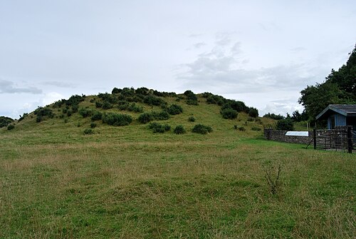 DowthNeolithic passage tomb · 230 yd
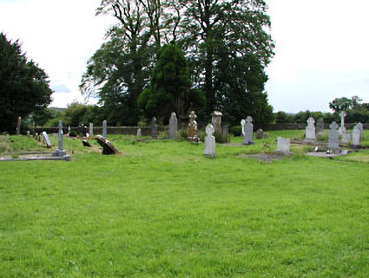 Netterville Manorgraveyard/cemetery · 237 yd
 Church (in Ruins)Church · 248 yd
 St. Bernards WellHoly well · 253 yd
 Dowth CastleCastle, tower house · 270 yd
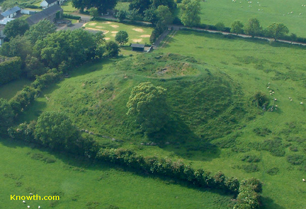 Concentric enclosure in DowthConcentric enclosure · 1002 yd
 Brú na Bóinne Visitor Centre AccessHeritage attraction · 1275 yd
 Brú na Bóinne Visitors CentreVisitor information · 1358 yd
 Glenmore ForestWood · 1734 yd
 Proudfootstown CastleCastle, unclassified · 1.0 mi
 European YewEuropean Yew · 1.6 mi
 Battle of the BoyneMajor battlefield · 1.7 mi