What is recorded here
About 5m to SSE, S and SSW of the rath (GA098-093----), three grassed-over stony banks, varying in length from 23.8m at SSE to 51.8m at SSW, are visible. They may be associated with the rath.
Compiled by: Galway Archaeological Survey, UCG
Date of upload: 4 March 2019
The monument record does not grant public access. Check the route and ask the landowner before entering private land.
- What survives
- Recorded monument
Places near here
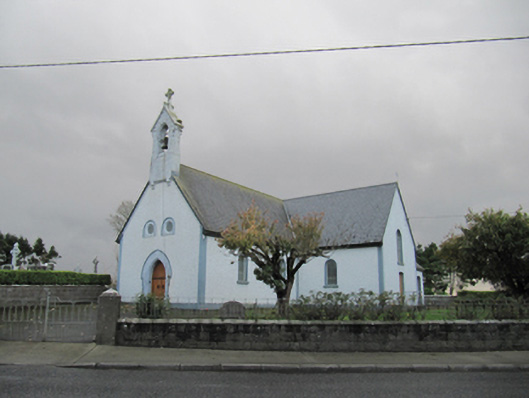 Catholic Church of Our Lady of Lourdeschurch/chapel · 1375 yd
 Old ChapelChurch · 1376 yd
 Dartfield Horse MuseumHeritage attraction · 1713 yd
 Drought Castle (in Ruins)Castle, tower house · 1.1 mi
 CrossCross · 1.5 mi
 TobergrellaunHoly well · 1.7 mi
 Kilcooly Castle (in ruins)Castle, tower house · 2.7 mi
 Turoe StoneHeritage attraction · 4.0 mi
 Bush IslandIslet · 5.1 mi
 Middle IslandIslet · 5.1 mi
 Long PointHeadland · 5.3 mi
 Battle of AughrimMajor battlefield · 7.6 mi