What is recorded here
Doon field system in County Galway holds three grassed banks beside an ancient rath, stretching from twenty-three to fifty metres across open ground. They may have divided pasture, marked ownership or guided seasonal movement long before modern boundaries existed. The rath still stands nearby, suggesting these were not random stones but a shaped landscape where people lived, worked and remembered.
About 5m to SSE, S and SSW of the rath (GA098-093----), three grassed-over stony banks, varying in length from 23.8m at SSE to 51.8m at SSW, are visible. They may be associated with the rath.
Compiled by: Galway Archaeological Survey, UCG
Date of upload: 4 March 2019
The monument record does not grant public access. Check the route and ask the landowner before entering private land.
- What survives
- Recorded monument
Places near here
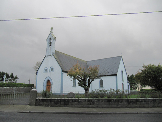 Catholic Church of Our Lady of Lourdeschurch/chapel · 1375 yd
 Old ChapelChurch · 1376 yd
 Dartfield Horse MuseumHeritage attraction · 1713 yd
 Drought Castle (in Ruins)Castle, tower house · 1.1 mi
 CrossCross · 1.5 mi
 TobergrellaunHoly well · 1.7 mi
 Kilcooly Castle (in ruins)Castle, tower house · 2.7 mi
 Turoe StoneHeritage attraction · 4.0 mi
 Bush IslandIslet · 5.1 mi
 Middle IslandIslet · 5.1 mi
 Long PointHeadland · 5.3 mi
 Battle of AughrimMajor battlefield · 7.6 mi