What is recorded here
Located in a fairly level landscape with a slight slope down to the N. Aerial photographs from the 1940s (ACAP: V306 / 1384, 1383) show earthen banks covering an area of about 5 acres (c. 1.5ha) creating small rectangular fields (dims c. 30m x c. 20m). It is less distinct on the ground but relict field ditches (Wth 2-3m; D 0.2m) are visible creating sub-rectangular or oval fields (dims c. 30-40m x c. 20-30m). No house sites are identified and ridge and furrow cultivation is not present.
The above description is derived from the published 'Archaeological Inventory of County Meath' (Dublin: Stationery Office, 1987). In certain instances the entries have been revised and updated in the light of recent research.
Compiled by: Michael Moore
Date of revision: 17 April 2019
The monument record does not grant public access. Check the route and ask the landowner before entering private land.
- What survives
- Recorded monument
Places near here
 Enclosure in MeadstownEnclosure · 1.0 mi
 Black ChurchChurch · 1.0 mi
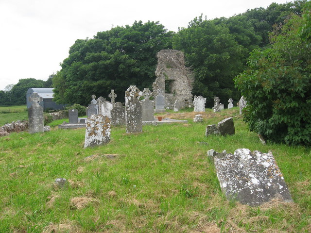 Grave YardGraveyard · 1.0 mi
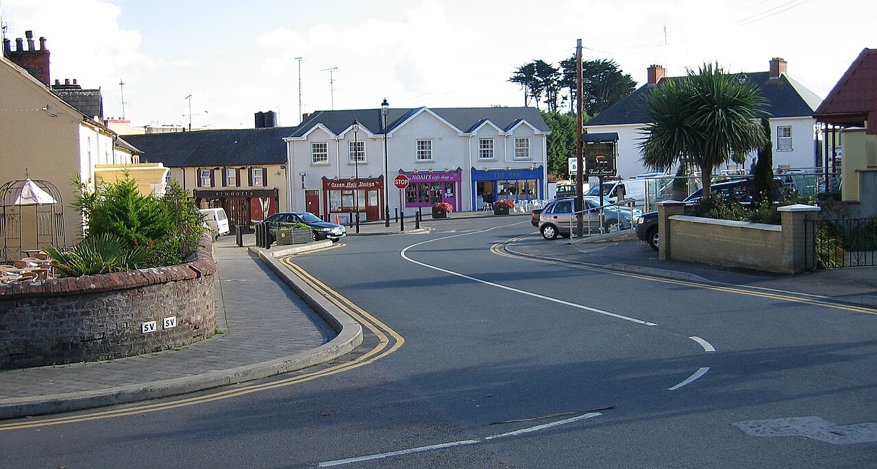 Courtown FriaryReligious house, Franciscan friars · 1.3 mi
 JamestownMountain / peak · 2.0 mi
 Moymet CastleCastle, tower house · 2.3 mi
 CastleCastle, motte · 2.5 mi
 The New Line RoadMemorial · 2.9 mi
 BohermeenMountain / peak · 3.0 mi
 Bally GroveWood · 4.5 mi
 Newtown GroveWood · 4.5 mi
 FarmaphobiaHeritage attraction · 5.0 mi