What is recorded here
In tillage. An aerial photograph (GB99.GG.03, 12 July 1999) shows a cropmark of two linear fosses extending northwestward for at least c. 55m from the NW side of a rectilinear enclosure (KK019-127----) and the suggestion of two other fosses extending southeastward for at least c. 40m from the SE side, indicative of an associated field system. A dark green cropmark within the enclosure suggests internal structures, possibly a Man-made underground passage (KK019-129----).
Compiled by: Dr. Gillian Barrett for the Archaeological Survey of Ireland and Jean Farrelly
Date of revised upload: 22 October 2020
The monument record does not grant public access. Check the route and ask the landowner before entering private land.
- What survives
- Recorded monument
Places near here
 Bonnetstown Hallcountry house · 891 yd
 Castle (in Ruins)Castle, tower house · 893 yd
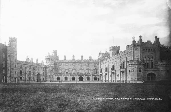 Enclosure in RaheennagunEnclosure · 1386 yd
 Newtown Ringfort (rath)Archaeological place · 1632 yd
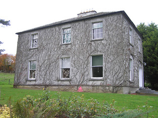 Troyswood Househouse · 1.1 mi
 Lacken Castle (site of)Archaeological place · 1.4 mi
 European ashEuropean ash · 1.6 mi
 Kilkenny CreameryMemorial · 1.8 mi
 Troy's GateMemorial · 1.9 mi
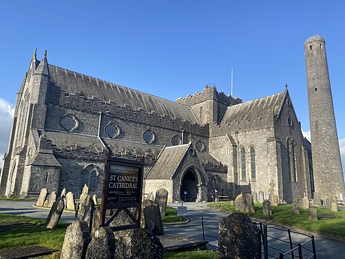 St. Canice's CathedralVisitor information · 1.9 mi
 Saint Canice's Cathedral Round TowerViewpoint · 1.9 mi
 Black PoplarBlack Poplar · 1.9 mi