What is recorded here
Situated on a fairly level landscape, with a slope down to the WSW-ENE Nanny River at N. An unmapped field system defined by single ditches is visible on a digital image captured with a drone-mounted camera by Colin Byrne on 22/07/2021. What is probably a roadway (L c. 200m) is visible as two parallel ditches c. 8m apart zig-zagging up the slope from the river and then running N-S roughly parallel with an extant field bank. There are irregularly rectangular fields (dims c. 35m x c. 35m) attached to it on the E side, and it covers an area of about 2 hectares (c. 5 acres). It is also faintly visible on Google Earth (21/07/2021).
See the attached aerial view from the N courtesy of Colin Byrne
Compiled by: Michael Moore
Date of upload: 13 October 2021
The monument record does not grant public access. Check the route and ask the landowner before entering private land.
- What survives
- Recorded monument
Places near here
 Enclosure in Calliaghstown (duleek Lower By.)Enclosure · 260 yd
 Dardistown CastleHouse, 16th/17th century · 533 yd
 St. Columbkilles WellHoly well · 882 yd
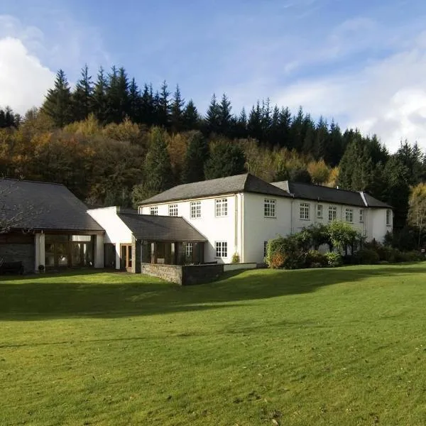 CastleCastle, ringwork · 1.1 mi
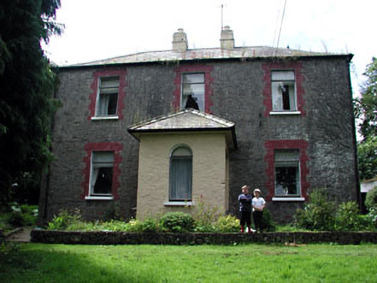 farm housefarm house · 1.2 mi
 MoatCastle, motte · 1.4 mi
 Battle of Julianstownbattle · 1.7 mi
 Newgrange Business ParkMemorial · 3.5 mi
 SycamoreSycamore · 3.9 mi
 Common LimeCommon Lime · 4.0 mi
 Beaulieu House and GardensHeritage attraction · 4.4 mi
 Yellow IslandIslet · 4.9 mi